Oed
Oed is a hamlet in Bischofsmais, Regen, Bavaria. Oed is situated nearby to the village Seiboldsried vorm Wald, as well as near the hamlet Käsermühl.| Tap on a place to explore it |
Places of Interest
Highlights include Todtenau and St. Jakobus der Ältere.
Todtenau
Nature reserve

Photo: Konrad Lackerbeck, CC BY 3.0.
Todtenau is a nature reserve, which is situated 3 km southeast of Oed.
St. Jakobus der Ältere
Church
 St. Jakobus der Ältere is a church, which is situated 3 km northwest of Oed.
Places in the Area
Nearby places include Zell and Sankt Hermann.


Großseiboldsried
Hamlet
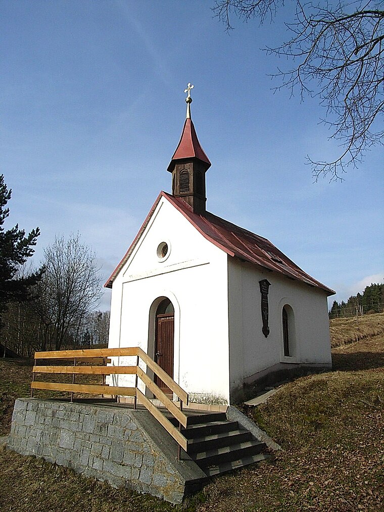
Photo: Konrad Lackerbeck, CC BY 3.0.
Großseiboldsried is a hamlet, which is situated 4 km north of Oed.
Oed
- Type: Hamlet
- Category: locality
- Location: Bischofsmais, Regen, Lower Bavaria, Bavaria, Germany, Central Europe, Europe
- View on OpenStreetMap
Latitude
48.90046° or 48° 54′ 2″ northLongitude
13.11288° or 13° 6′ 46″ eastOpen location code
8FWMW427+55OpenStreetMap ID
node 301266933OpenStreetMap feature
place=hamlet
This page is based on OpenStreetMap, Wikidata, and Wikimedia Commons.
We’d love your help improving our open data sources. Thank you for contributing.
Satellite Map
Discover Oed from above in high-definition satellite imagery.
Places with the Same Name
Discover other places named “Oed”.
Localities in the Area
Explore places such as Seiboldsried vorm Wald and Käsermühl.
Notable Places Nearby
Highlights include Kriegerdenkmal In Seiboldsried vorm Wald in Bischofsmais and Schloßberg.
Lower Bavaria: Must-Visit Destinations
Delve into Passau, Landshut, Straubing, and Deggendorf.
Curious Hamlets to Discover
Uncover intriguing hamlets from every corner of the globe.
About Mapcarta. Data © OpenStreetMap contributors and available under the Open Database License". Text is available under the CC BY-SA 4.0 license, except for photos, directions, and the map. Photo: Wikimedia, CC0.