Dumovec
Dumovec is a bus stop in Municipality of Rugvica, Zagreb County. Dumovec is situated nearby to the shopping center Designer Outlet Croatia, as well as near the village Ivanja Reka.| Tap on a place to explore it |
Places of Interest Nearby
Highlights include Church of the Resurrection of Jesus, Zagreb and Sava River Bridge.
Church of the Resurrection of Jesus, Zagreb
Church
 Church of the Resurrection of Jesus, Zagreb is situated 2½ km northeast of Dumovec.
Sava River Bridge
Bridge

Photo: Tomobe03, CC BY-SA 3.0.
The Sava Bridge is located between Kosnica and Ivanja Reka interchanges of the A3 motorway near Zagreb in Croatia, spanning Sava River. It is 1,064.5 metres long, and it comprises four traffic lanes and two emergency lanes. Sava River Bridge is situated 2½ km southwest of Dumovec.
St. John the Baptist Church, Zagreb (Ivanja Reka)
Church
 St. John the Baptist Church, Zagreb (Ivanja Reka) is situated 2½ km west of Dumovec.
Places in the Area
Nearby places include Dumovec and Ivanja Reka.
Dumovec
Village
Dumovec is a village in Croatia. It is formally a settlement of Zagreb, the capital of Croatia. Dumovec is home to the Zagreb shelter for abandoned animals, a pet cemetery, a wildlife sanctuary, and a shelter for feral cats.
Ivanja Reka
Village

Photo: Tomobe03, CC BY-SA 3.0.
Ivanja Reka is a neighborhood located in the eastern part of the Peščenica - Žitnjak city district of Zagreb, Croatia. Its main thoroughfare is the Slavonska Avenue. Ivanja Reka is situated 2½ km west of Dumovec.
Sesvetski Kraljevec
Quarter
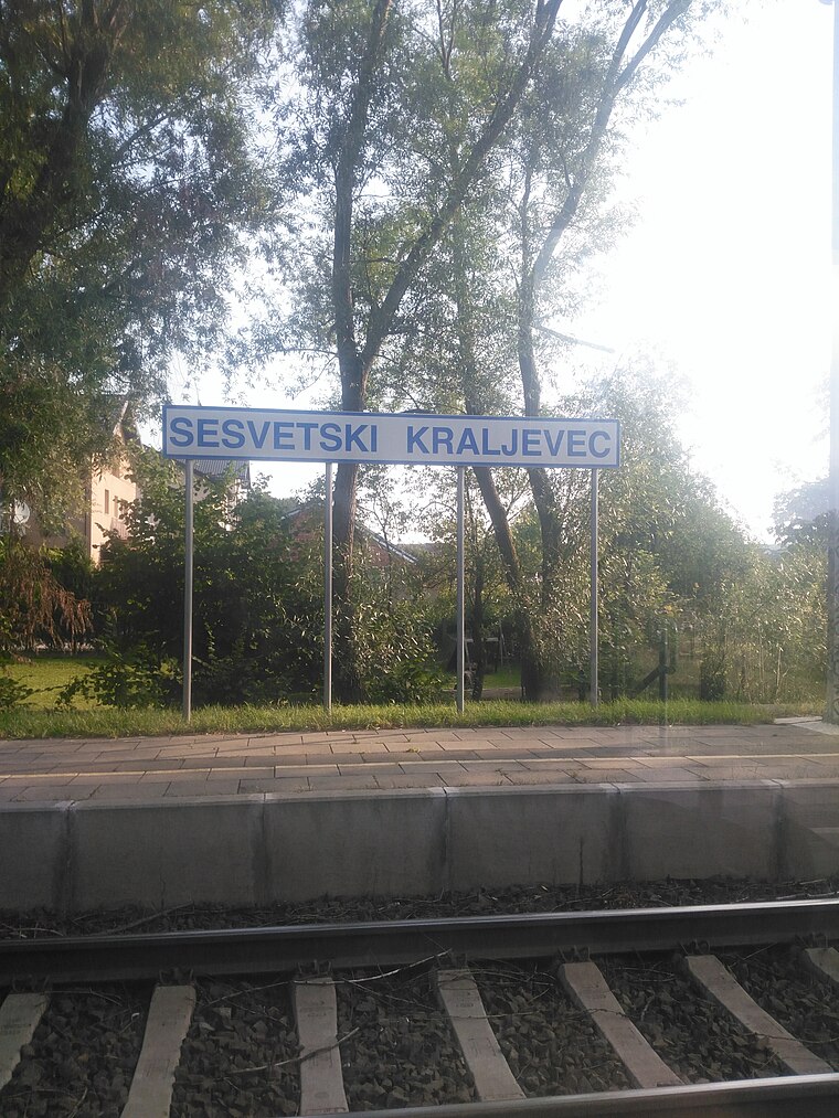
Photo: MirkoS18, CC BY-SA 4.0.
Sesvetski Kraljevec is a quarter, which is situated 2½ km northeast of Dumovec.
Dumovec
- Type: Bus stop
- Category: transportation
- Location: Municipality of Rugvica, Zagreb County, Croatia, Balkans, Europe
- View on OpenStreetMap
Latitude
45.79966° or 45° 47′ 59″ northLongitude
16.15081° or 16° 9′ 3″ eastOpen location code
8FQRQ5X2+V8OpenStreetMap ID
node 3027378822OpenStreetMap feature
highway=bus_stopOpenStreetMap feature
public_transport=platform
This page is based on OpenStreetMap, Wikidata, and Wikimedia Commons.
We’d love your help improving our open data sources. Thank you for contributing.
Satellite Map
Discover Dumovec from above in high-definition satellite imagery.
Places with the Same Name
Discover other places named “Dumovec”.
Notable Places Nearby
Highlights include Designer Outlet Croatia and NK Sava.
Nearby Places
Explore places such as Dumovec and Shell.
Croatia: Must-Visit Destinations
Delve into Zagreb, Dubrovnik, Split, and Rijeka.
Curious Bus Stops to Discover
Uncover intriguing bus stops from every corner of the globe.
About Mapcarta. Data © OpenStreetMap contributors and available under the Open Database License". Text is available under the CC BY-SA 4.0 license, except for photos, directions, and the map. Photo: Wikimedia, CC BY-SA 3.0.