Feistritz im Rosental West
Feistritz im Rosental West is a railway stop in Feistritz im Rosental, Klagenfurt-Land District, Carinthia. Feistritz im Rosental West is situated nearby to the public building Kulturhaus, as well as near the pitch Skaterplatz / Spielplatz.| Tap on a place to explore it |
Places of Interest Nearby
Highlights include Franzosenkreuz, Feistritz im Rosental and Feistritz-Ludmannsdorf Run-of-River Power Plant.
Franzosenkreuz, Feistritz im Rosental
Memorial

Photo: Thomas Ledl, CC BY-SA 4.0.
Franzosenkreuz, Feistritz im Rosental is a memorial, which is situated 550 metres south of Feistritz im Rosental West.
Feistritz-Ludmannsdorf Run-of-River Power Plant
Power station

Photo: Johann Jaritz, CC BY-SA 4.0.
Feistritz-Ludmannsdorf Run-of-River Power Plant is a power station, which is situated 1¼ km north of Feistritz im Rosental West.

Places in the Area
Nearby places include Suetschach and Keutschach am See.

Keutschach am See
Village
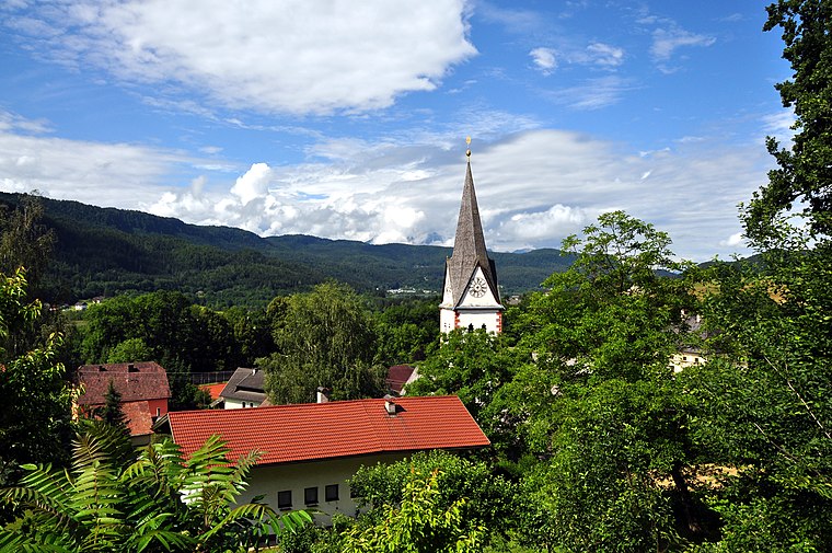
Photo: Johann Jaritz, CC BY-SA 3.0.
Keutschach am See is a municipality in the district of Klagenfurt-Land in the Austrian state of Carinthia. Keutschach am See is situated 8 km north of Feistritz im Rosental West.
Javorniški Rovt
Village

Photo: Razfra, CC BY-SA 4.0.
Javorniški Rovt is a settlement in the Municipality of Jesenice in the Upper Carniola region of Slovenia. It is located in the foothills of the Karawanks, above its namesake settlement of Slovenski Javornik… Javorniški Rovt is situated 10 km southwest of Feistritz im Rosental West.
Feistritz im Rosental West
- Type: Railway stop
- Also known as: “Feistritz West”
- Categories: transport stop and transportation
- Location: Feistritz im Rosental, Klagenfurt-Land District, Carinthia, Austria, Central Europe, Europe
- View on OpenStreetMap
Latitude
46.52407° or 46° 31′ 27″ northLongitude
14.16578° or 14° 9′ 57″ eastOperator
ÖBBOpen location code
8FRPG5F8+J8OpenStreetMap ID
node 303352408OpenStreetMap feature
public_transport=stop_position
This page is based on OpenStreetMap, Wikidata, and Wikimedia Commons.
We’d love your help improving our open data sources. Thank you for contributing.
Satellite Map
Discover Feistritz im Rosental West from above in high-definition satellite imagery.
In Other Languages
“Feistritz im Rosental West” goes by many names.
- German: “Feistritz im Rosental West”
Notable Places Nearby
Highlights include Kulturhaus and Skaterplatz / Spielplatz.
Nearby Places
Explore places such as Krabbelstube Bärenstark and SOCAR.
Carinthia: Must-Visit Destinations
Delve into Klagenfurt, Villach, Wörthersee, and Spittal an der Drau.
Curious Railway Stops to Discover
Uncover intriguing railway stops from every corner of the globe.
About Mapcarta. Data © OpenStreetMap contributors and available under the Open Database License". Text is available under the CC BY-SA 4.0 license, except for photos, directions, and the map. Photo: Wikimedia, CC BY-SA 3.0.