El Jamón
El Jamón is a supermarket in Seville, Seville, Andalusia which is located on Calle Monzón. El Jamón is situated nearby to the church Iglesia San Antonio María Claret, as well as near the community center Espacio ciudadanos reina Mercedes.| Tap on a place to explore it |
- Opening hours: Monday—Saturday 9:00 AM—9:00 PM
- Type: Supermarket
- Address: Calle Monzón 40, Sevilla, 41012
Places of Interest Nearby
Highlights include Estadio Benito Villamarín and University Hospital Virgen del Rocio.
Estadio Benito Villamarín
Stadium
 Estadio Benito Villamarín is a stadium in Sevilla, Spain, and the home of Real Betis since its completion in 1929. It has a capacity of 60,721. Estadio Benito Villamarín is situated 350 metres east of El Jamón.
University Hospital Virgen del Rocio
Hospital
 Hospital Universitario Virgen del Rocío, also known as HUVR, is a complex of hospitals in the center of Seville, and is the largest hospital in southern Spain. University Hospital Virgen del Rocio is situated 1 km northeast of El Jamón.
Puente de Alfonso XIII
Bridge

Photo: Grez, CC BY-SA 3.0.
Puente de Alfonso XIII is a bridge, which is situated 550 metres west of El Jamón.
Places in the Area
Nearby places include Heliópolis and Los Bermejales.

Los Bermejales
Neighborhood

Photo: CarlosVdeHabsburgo, CC BY-SA 3.0.
Los Bermejales is a neighborhood.
Bellavista-La Palmera
Suburb
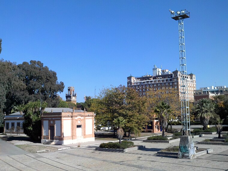
Photo: CarlosVdeHabsburgo, CC BY-SA 4.0.
Bellavista-La Palmera is a district of the city of Seville, the regional capital of the Spanish region of Andalusia. It is situated on the eastern bank of the Guadalquivir river, to the south of the city centre.
El Jamón
Latitude
37.35635° or 37° 21′ 23″ northLongitude
-5.98571° or 5° 59′ 9″ westBrand
El JamónOperator
El JamónOpen location code
8C9P9247+GPOpenStreetMap ID
node 3060632795OpenStreetMap feature
shop=supermarket
This page is based on OpenStreetMap, Wikidata, and Wikimedia Commons.
We’d love your help improving our open data sources. Thank you for contributing.
Satellite Map
Discover El Jamón from above in high-definition satellite imagery.
Places with the Same Name
Discover other places named “El Jamón”.
Notable Places Nearby
Highlights include Iglesia San Antonio María Claret and Espacio ciudadanos reina Mercedes.
Nearby Places
Explore places such as Al-Sur and Bar Jamaica.
Curious Supermarkets to Discover
Uncover intriguing supermarkets from every corner of the globe.
About Mapcarta. Data © OpenStreetMap contributors and available under the Open Database License". Text is available under the CC BY-SA 4.0 license, except for photos, directions, and the map. Photo: Wikimedia, CC BY-SA 4.0.