Eichstetten Marienstraße
Eichstetten Marienstraße is in Eichstetten am Kaiserstuhl, Breisgau-Hochschwarzwald, Baden-Württemberg. Eichstetten Marienstraße is situated nearby to the church Evangelische Gemeinschaft Eichstetten e.V., as well as near Turnverein Eichstetten von 1899.| Tap on a place to explore it |
Places of Interest Nearby
Highlights include Protestant church Eichstetten and Eichstetten am Kaiserstuhl railway station.
Protestant church Eichstetten
Church

Photo: Joergens.mi, CC BY-SA 3.0.
Protestant church Eichstetten is situated 550 metres east of Eichstetten Marienstraße.
Eichstetten am Kaiserstuhl railway station
Railway station

Photo: Andreas Schwarzkopf, CC BY-SA 3.0.
Eichstetten am Kaiserstuhl railway station is situated 730 metres east of Eichstetten Marienstraße.
Nimberg
Peak
Nimberg is a mountain of Baden-Württemberg, Germany. Nimberg is situated 3 km east of Eichstetten Marienstraße.
Places in the Area
Nearby places include Bahlingen and Buchheim.
Bahlingen
Village

Photo: Luftfahrer, CC BY-SA 3.0.
Bahlingen am Kaiserstuhl is a municipality in the district of Emmendingen, Baden-Württemberg, southwestern Germany. Bahlingen is situated 3½ km north of Eichstetten Marienstraße.
Buchheim
Village

Photo: Wikimedia, Public domain.
Buchheim is a village, which is situated 4½ km southeast of Eichstetten Marienstraße.
Gottenheim
Village
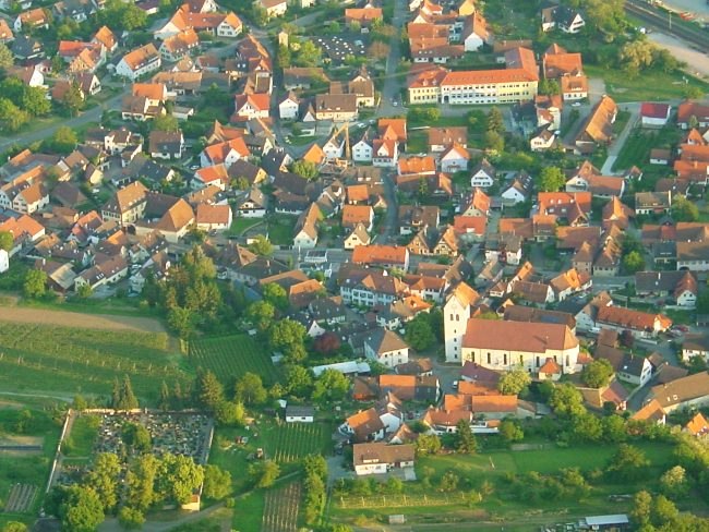
Photo: Luftfahrer, CC BY-SA 3.0.
Gottenheim is an independent village at the northern tip of the Tuniberg, 15 km west of Freiburg im Breisgau. It is located in the administrative region Breisgau-Hochschwarzwald in the federal state of Baden-Württemberg, Germany. Gottenheim is situated 5 km south of Eichstetten Marienstraße.
Eichstetten Marienstraße
- Type: Sign
- Categories: information and tourism
- Location: Eichstetten am Kaiserstuhl, Breisgau-Hochschwarzwald, Freiburg Region, Baden-Württemberg, Germany, Central Europe, Europe
- View on OpenStreetMap
Latitude
48.094° or 48° 5′ 38″ northLongitude
7.73824° or 7° 44′ 18″ eastElevation
201 metres (659 feet)Operator
SchwarzwaldvereinOpen location code
8FW93PVQ+H7OpenStreetMap ID
node 3086895531OpenStreetMap feature
tourism=information
This page is based on OpenStreetMap, Wikidata, and Wikimedia Commons.
We’d love your help improving our open data sources. Thank you for contributing.
Satellite Map
Discover Eichstetten Marienstraße from above in high-definition satellite imagery.
Notable Places Nearby
Highlights include Evangelische Gemeinschaft Eichstetten e.V. and Turnverein Eichstetten von 1899.
Nearby Places
Explore places such as Fotoatelier Brigitte Ziser and Holzkultur Kaiserstuhl.
Baden-Württemberg: Must-Visit Destinations
Delve into Stuttgart, Heidelberg, Karlsruhe, and Mannheim.
Curious Places to Discover
Uncover intriguing places from every corner of the globe.
About Mapcarta. Data © OpenStreetMap contributors and available under the Open Database License". Text is available under the CC BY-SA 4.0 license, except for photos, directions, and the map. Photo: Traveler100, CC BY-SA 3.0.