V Pino
V Pino is a restaurant in Melilla, Spanish North Africa. V Pino is situated nearby to the airport terminal Terminal Aeropuerto, as well as near the park Parque Infantil Barriada de las Caracolas.| Tap on a place to explore it |
Places of Interest Nearby
Highlights include Estadio Municipal Álvarez Claro and Parque Forestal, Melilla.
Estadio Municipal Álvarez Claro
Stadium
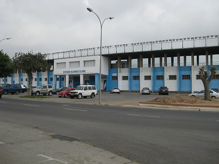
Photo: Alex Smile, CC BY-SA 4.0.
The Estadio Álvarez Claro is a stadium in Melilla, Spain. It is currently used for football matches and it is the home venue of UD Melilla. It was inaugurated on 29 September 1945. Estadio Municipal Álvarez Claro is situated 1¼ km northeast of V Pino.
Parque Forestal, Melilla
Park

Photo: Ángel Gutiérrez Rubio, CC BY 2.0.
Parque Forestal, Melilla is a park.
Río de Oro
River

Photo: Lord SKY, CC BY-SA 2.0.
The Río de Oro is a river which flows in northeast Morocco to reach the Mediterranean Sea at the harbour of the Spanish exclave of Melilla.
Places in the Area
Nearby places include Beni Ansar and Farkhana.
Beni Ansar
Town
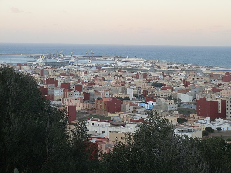
Photo: Aït Nsar, CC BY-SA 3.0.
Beni Ansar is a town in Nador Province, Oriental, Morocco, located 12 km north of the city of Nador. It is bordered on the north by the Spanish city of Melilla. Beni Ansar is situated 2½ km southeast of V Pino.
Farkhana
Town
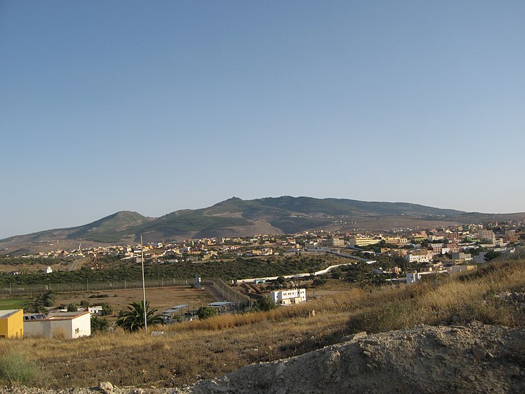
Photo: Ángel Gutiérrez Rubio, CC BY 2.0.
Farkhana is a town in Nador Province, Oriental, Morocco. According to the 2004 census, it has a population of 10,994. Farkhana is situated 2½ km northwest of V Pino.
Ataque Seco
Neighborhood

Photo: Paco Solís, CC BY 2.0.
Ataque Seco is one of the barrios of the city of Melilla, a Spanish exclave on the north coast of Africa. Ataque Seco is located in the central north of the city, 500 metres from the Mediterranean coast and one kilometre northwest of Melilla la Vieja, the old walled city. Ataque Seco is situated 3 km northeast of V Pino.
V Pino
- Type: Restaurant
- Category: food
- Location: Melilla, Spanish North Africa, Spain, Iberia, Europe
- View on OpenStreetMap
Latitude
35.27435° or 35° 16′ 28″ northLongitude
-2.95537° or 2° 57′ 19″ westOpen location code
8C7V72FV+PVOpenStreetMap ID
node 3090527766OpenStreetMap feature
amenity=restaurant
This page is based on OpenStreetMap, Wikidata, and Wikimedia Commons.
We’d love your help improving our open data sources. Thank you for contributing.
Satellite Map
Discover V Pino from above in high-definition satellite imagery.
Notable Places Nearby
Highlights include Terminal Aeropuerto and Parque Infantil Barriada de las Caracolas.
Nearby Places
Explore places such as V Pino and ‘El V Pino’.
Spain: Must-Visit Destinations
Delve into Madrid, Barcelona, Seville, and Valencia.
Curious Restaurants to Discover
Uncover intriguing restaurants from every corner of the globe.
About Mapcarta. Data © OpenStreetMap contributors and available under the Open Database License". Text is available under the CC BY-SA 4.0 license, except for photos, directions, and the map. Photo: Ecemaml, CC BY-SA 3.0.