Im Stock - Alte Druckerei
Im Stock - Alte Druckerei is a nightclub in Lüdenscheid, Märkischer Kreis, North Rhine-Westphalia which is located on Knapper Straße. Im Stock - Alte Druckerei is situated nearby to the sports venue Sporthalle Knapper Grundschule, as well as near the playground Quartiersplatz Knapper Grundschule.| Tap on a place to explore it |
- Email: post@der-stock.info
- Type: Nightclub
- Address: Knapper Straße 50, Lüdenscheid, 58507
- Wheelchair access: limited
Places of Interest Nearby
Highlights include Christuskirche (Lüdenscheid) and Phänomenta Lüdenscheid.
Christuskirche (Lüdenscheid)
Church
 Christuskirche (Lüdenscheid) is a church, which is situated 130 metres north of Im Stock - Alte Druckerei.
Phänomenta Lüdenscheid
Museum
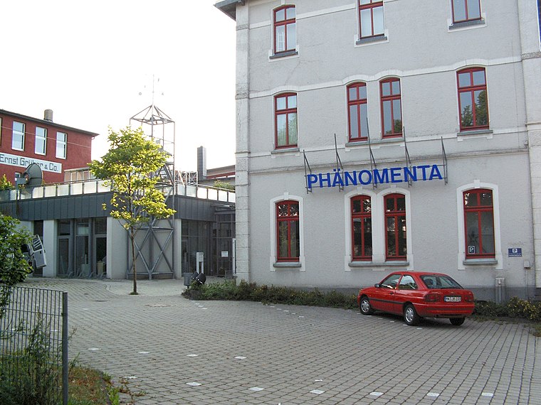
Photo: Silvercork, CC BY-SA 3.0.
Phänomenta Lüdenscheid is a museum, which is situated 420 metres northeast of Im Stock - Alte Druckerei.
Maria Königin
Church
 Maria Königin is a church, which is situated 400 metres northwest of Im Stock - Alte Druckerei.
Places in the Area
Nearby places include Kalve and Heedfeld.
Kalve
Suburb

Photo: Mich.kramer, CC BY-SA 3.0.
Kalve is a suburb, which is situated 3 km east of Im Stock - Alte Druckerei.
Heedfeld
Village

Photo: Mich.kramer, CC BY-SA 3.0.
Heedfeld is a village, which is situated 5 km northwest of Im Stock - Alte Druckerei.
Oberbrügge
Suburb

Photo: Mich.kramer, CC BY-SA 3.0.
Oberbrügge is a suburb, which is situated 5 km southwest of Im Stock - Alte Druckerei.
Im Stock - Alte Druckerei
Latitude
51.22015° or 51° 13′ 13″ northLongitude
7.62319° or 7° 37′ 24″ eastOperator
Inhaber: Oliver StraubOpen location code
9F396JCF+37OpenStreetMap ID
node 3132192240OpenStreetMap feature
amenity=nightclubOpenStreetMap attribute
wheelchair=limited
This page is based on OpenStreetMap, Wikidata, and Wikimedia Commons.
We’d love your help improving our open data sources. Thank you for contributing.
Satellite Map
Discover Im Stock - Alte Druckerei from above in high-definition satellite imagery.
Notable Places Nearby
Highlights include Sporthalle Knapper Grundschule and Quartiersplatz Knapper Grundschule.
Nearby Places
Explore places such as KiK and Inter Cafe Lüdenscheid.
South Westphalia: Must-Visit Destinations
Delve into Siegen, Iserlohn, Soest, and Schmallenberg.
Curious Nightclubs to Discover
Uncover intriguing nightclubs from every corner of the globe.
About Mapcarta. Data © OpenStreetMap contributors and available under the Open Database License". Text is available under the CC BY-SA 4.0 license, except for photos, directions, and the map. Photo: Wikimedia, CC0.