Santoinho - Espigueiro
Santoinho - Espigueiro is a restaurant in Viana do Castelo District, Portugal. Santoinho - Espigueiro is situated nearby to the church Capela de São Brás, as well as near the railway station Darque.| Tap on a place to explore it |
Places of Interest Nearby
Highlights include Darque train station and Castelo de Portuzelo.
Darque train station
Railway stop
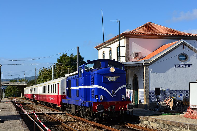
Photo: Nelso Silva, CC BY-SA 2.0.
Darque train station is a railway stop, which is situated 520 metres northeast of Santoinho - Espigueiro.
Castelo de Portuzelo
Castle
Castelo de Portuzelo is a castle in Portugal. It is classified by IGESPAR as a Site of Public Interest. Castelo de Portuzelo is situated 3 km north of Santoinho - Espigueiro.
Viana do Castelo bullring
Stadium

Photo: Joseolgon, CC BY-SA 4.0.
Viana do Castelo bullring is a stadium, which is situated 3½ km northwest of Santoinho - Espigueiro.
Places in the Area
Nearby places include Darque and Mazarefes.
Darque
Town
Darque is a civil parish in the municipality of Viana do Castelo, Portugal. The population in 2011 was 7,817, in an area of 9.01 km2.
Mazarefes
Village
Mazarefes was a civil parish in the municipality of Viana do Castelo, Portugal, with a population of 1 343 inhabitants. Since 2013, it was merged with the parish of Vila Fria, forming Mazarefes e Vila Fria.
Anha
Town

Photo: Barbarafpoliveira, CC BY-SA 4.0.
Anha or Vila Nova do Anha is a civil parish in the municipality of Viana do Castelo, Portugal. The population in 2011 was 2,415, in an area of 9.40 km2. Town status was given in July 1985.
Santoinho - Espigueiro
- Type: Restaurant
- Category: food
- Location: Viana do Castelo District, Portugal, Iberia, Europe
- View on OpenStreetMap
Latitude
41.67622° or 41° 40′ 34″ northLongitude
-8.78505° or 8° 47′ 6″ westOpen location code
8CHHM6G7+FXOpenStreetMap ID
node 3195619561OpenStreetMap feature
amenity=restaurant
This page is based on OpenStreetMap, Wikidata, and Wikimedia Commons.
We’d love your help improving our open data sources. Thank you for contributing.
Satellite Map
Discover Santoinho - Espigueiro from above in high-definition satellite imagery.
Notable Places Nearby
Highlights include Capela de São Brás and Darque.
Nearby Places
Explore places such as Quinta de Santoinho and E.Leclerc.
Portugal: Must-Visit Destinations
Delve into Lisbon, Caldas da Rainha, Porto, and Coimbra.
Curious Restaurants to Discover
Uncover intriguing restaurants from every corner of the globe.
About Mapcarta. Data © OpenStreetMap contributors and available under the Open Database License". Text is available under the CC BY-SA 4.0 license, except for photos, directions, and the map. Photo: Tsy1980, CC BY-SA 4.0.