Gilfillan Trail
Gilfillan Trail is a trailhead in Upper Saint Clair Township, Allegheny County, Pennsylvania. Gilfillan Trail is situated nearby to Gilfillan Park, as well as near Gilfillan Farm.| Tap on a place to explore it |
Places of Interest Nearby
Highlights include Gilfillan Farm and South Hills Village.
Gilfillan Farm
Farm

Photo: Daniel Case, CC BY-SA 3.0.
Gilfillan Farm is located at the junction of Washington and Orr roads in Upper St. Clair Township, Allegheny County, Pennsylvania, United States. It is a working farm whose current form dates to the mid-19th century. Gilfillan Farm is situated 990 feet east of Gilfillan Trail.
South Hills Village
Shopping center

Photo: Jim.henderson, CC0.
South Hills Village is a two-level shopping mall that is located in the Pittsburgh suburbs of Bethel Park and Upper St. Clair Township, Pennsylvania, United States. South Hills Village is situated 3,100 feet east of Gilfillan Trail.
South Hills Village station
Railway station

Photo: Sky Harbor, CC BY-SA 4.0.
South Hills Village is a station on Pittsburgh Regional Transit's light rail network. It is the southern terminus of both the Red and Blue lines. Port Authority's switching yard and shops are located just west of the station. South Hills Village station is situated 4,200 feet east of Gilfillan Trail.
Places in the Area
Nearby places include Upper Saint Clair and Bethel Park.
Upper Saint Clair
Town

Photo: Leepaxton, CC BY-SA 4.0.
Allegheny County is the center of the Pittsburgh Region of Pennsylvania. It contains the city of Pittsburgh and most of the Pittsburgh metropolitan area.
Bethel Park
Town

Photo: Generic1139, CC BY 3.0.
Allegheny County is the center of the Pittsburgh Region of Pennsylvania. It contains the city of Pittsburgh and most of the Pittsburgh metropolitan area. Bethel Park is situated 2 miles southeast of Gilfillan Trail.
Mt. Lebanon
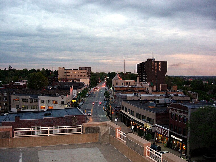
Photo: Pittsburgh7, Public domain.
Mt. Lebanon is an affluent suburb in Allegheny County, Pennsylvania, about seven miles south of Downtown Pittsburgh. Uptown Mt. Lebanon, a business district along Washington Road in the northern part of the township, is one of the more prominent business districts in the area outside of Pittsburgh itself.
Gilfillan Trail
- Type: Trailhead
- Category: sports location
- Location: Upper Saint Clair Township, Allegheny County, Pittsburgh Region, Pennsylvania, Mid-Atlantic, United States, North America
- View on OpenStreetMap
Latitude
40.34326° or 40° 20′ 36″ northLongitude
-80.06745° or 80° 4′ 3″ westOpen location code
86GX8WVM+82OpenStreetMap ID
node 3201264675OpenStreetMap feature
highway=trailhead
This page is based on OpenStreetMap, Wikidata, and Wikimedia Commons.
We’d love your help improving our open data sources. Thank you for contributing.
Satellite Map
Discover Gilfillan Trail from above in high-definition satellite imagery.
Notable Places Nearby
Highlights include Gilfillan Park and Upper St. Clair Volunteer Fire Department.
Nearby Places
Explore places such as Westminster Nursery School and Kindergarten and Sunrise of Upper St. Clair.
Allegheny County: Must-Visit Destinations
Delve into Pittsburgh, Oakland, Downtown Pittsburgh, and South Side.
Curious Trailheads to Discover
Uncover intriguing trailheads from every corner of the globe.
About Mapcarta. Data © OpenStreetMap contributors and available under the Open Database License". Text is available under the CC BY-SA 4.0 license, except for photos, directions, and the map. Photo: Albright.kevin.s, CC BY-SA 3.0.