Herbolzheim Landsiedlung 4
Herbolzheim Landsiedlung 4 is an electrical substation in Herbolzheim, Emmendingen, Baden-Württemberg. Herbolzheim Landsiedlung 4 is situated nearby to the nature reserve Steinbruch Ehrleshalden, as well as near the village Ringsheim.| Tap on a place to explore it |
Places of Interest Nearby
Highlights include Steinbruch Ehrleshalden and Herbolzheim (Breisgau) railway station.
Steinbruch Ehrleshalden
Nature reserve

Photo: Comanderkeen, CC BY-SA 3.0.
Steinbruch Ehrleshalden is a nature reserve.
Herbolzheim (Breisgau) railway station
Railway station

Photo: P.poschadel, CC BY-SA 4.0.
Herbolzheim (Breisgau) railway station is situated 1½ km southeast of Herbolzheim Landsiedlung 4.
St. Johann Baptist
Church

Photo: Rauenstein, Public domain.
St. Johann Baptist is a church, which is situated 1½ km northeast of Herbolzheim Landsiedlung 4.
Places in the Area
Nearby places include Ringsheim and Rheinhausen im Breisgau.
Ringsheim
Village

Photo: Ireas, CC BY-SA 4.0.
Ringsheim is a municipality in the district of Ortenau in Baden-Württemberg in Germany. The village is served by Ringsheim/Europa-Park station.
Rheinhausen im Breisgau
Village

Photo: Rauenstein, CC BY-SA 3.0.
Rheinhausen im Breisgau is a municipality in the district of Emmendingen in Baden-Württemberg in Germany. Rheinhausen im Breisgau is situated 3½ km west of Herbolzheim Landsiedlung 4.
Rust
Village
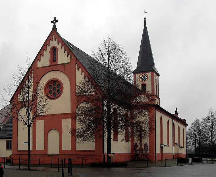
Photo: Rauenstein, Public domain.
Rust is a municipality in the district of Ortenau in Baden-Württemberg in Germany. It is also the home of the famous theme park Europa-Park. The Renaissance era Balthasar Castle is now part of the theme park. Rust is situated 4 km northwest of Herbolzheim Landsiedlung 4.
Herbolzheim Landsiedlung 4
- Type: Electrical substation
- Category: industry
- Location: Herbolzheim, Emmendingen, Freiburg Region, Baden-Württemberg, Germany, Central Europe, Europe
- View on OpenStreetMap
Latitude
48.23559° or 48° 14′ 8″ northLongitude
7.75953° or 7° 45′ 34″ eastOperator
EnBW Regional AGOpen location code
8FW96QP5+6ROpenStreetMap ID
node 3249735765
This page is based on OpenStreetMap, Wikidata, and Wikimedia Commons.
We’d love your help improving our open data sources. Thank you for contributing.
Satellite Map
Discover Herbolzheim Landsiedlung 4 from above in high-definition satellite imagery.
Notable Places Nearby
Highlights include AMC Unterer Breisgau e. V. and Wohnmobil & Caravan Stellplatz Ringsheim.
Nearby Places
Explore places such as Unterwerk Herbolzheim and Niederwald strasse.
Baden-Württemberg: Must-Visit Destinations
Delve into Stuttgart, Heidelberg, Karlsruhe, and Mannheim.
Curious Electrical Substations to Discover
Uncover intriguing electrical substations from every corner of the globe.
About Mapcarta. Data © OpenStreetMap contributors and available under the Open Database License". Text is available under the CC BY-SA 4.0 license, except for photos, directions, and the map. Photo: Traveler100, CC BY-SA 3.0.