Maros-forrás pihenője
Maros-forrás pihenője is a picnic site in Voșlăbeni, Harghita and has an elevation of 1,350 metres. Maros-forrás pihenője is situated nearby to the spring Izvorul Mureșului, as well as near the peak Arama Neagră.| Tap on a place to explore it |
Places in the Area
Nearby places include Izvoru Mureșului and Voșlăbeni.
Izvoru Mureșului
Village

Photo: Compactforever, CC BY 2.5.
Izvoru Mureșului is a village, which is situated 4½ km south of Maros-forrás pihenője.
Voșlăbeni
Village
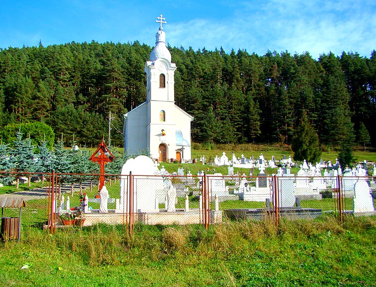
Photo: Țetcu Mircea Rareș, CC BY-SA 4.0.
Voșlăbeni is a village, which is situated 6 km west of Maros-forrás pihenője.
Covacipeter
Hamlet

Photo: Gzbotii, CC BY-SA 4.0.
Covacipeter is a hamlet, which is situated 7 km north of Maros-forrás pihenője.
Maros-forrás pihenője
- Type: Picnic site
- Categories: tourism and shelter
- Location: Voșlăbeni, Harghita, Szeklerland, Transylvania, Romania, Balkans, Europe
- View on OpenStreetMap
Latitude
46.66461° or 46° 39′ 53″ northLongitude
25.70264° or 25° 42′ 10″ eastElevation
1,350 metres (4,429 feet)Open location code
8GR7MP73+R3OpenStreetMap ID
node 3285743862OpenStreetMap feature
amenity=shelterOpenStreetMap feature
tourism=picnic_site
This page is based on OpenStreetMap, Wikidata, and Wikimedia Commons.
We’d love your help improving our open data sources. Thank you for contributing.
Satellite Map
Discover Maros-forrás pihenője from above in high-definition satellite imagery.
Notable Places Nearby
Highlights include Izvorul Mureșului and Arama Neagră.
Nearby Places
Explore places such as Ponkbükk-nyereg and Arama Neagră.
Harghita: Must-Visit Destinations
Delve into Miercurea Ciuc, Băile Tuşnad, Borsec, and Dârjiu.
Curious Picnic Sites to Discover
Uncover intriguing picnic sites from every corner of the globe.
About Mapcarta. Data © OpenStreetMap contributors and available under the Open Database License". Text is available under the CC BY-SA 4.0 license, except for photos, directions, and the map. Photo: Wikimedia, CC0.