Peña de Berrondo
Peña de Berrondo is a peak in Esteribar, Navarre and has an elevation of 883 metres. Peña de Berrondo is situated nearby to the locality Berondo, as well as near Arbe.| Tap on a place to explore it |
Places of Interest
Highlights include Iglesia de San Esteban and Itxuraldaketaren Eliza.

Itxuraldaketaren Eliza
Church

Photo: Patxi Txokarro, CC BY-SA 4.0.
Itxuraldaketaren Eliza is a church.

Places in the Area
Nearby places include Huarte/Uharte and Villava – Atarrabia.
Huarte/Uharte
Village
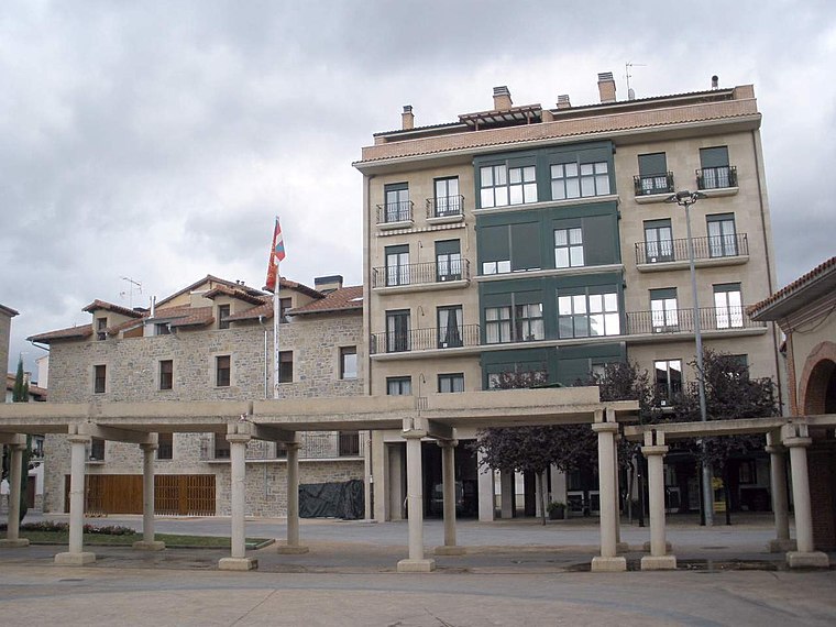
Photo: Zarateman, CC BY-SA 4.0.
Huarte or Uharte is a town and municipality located in the province and autonomous community of Navarre, northern Spain.
Villava – Atarrabia
Town
Villava is a town and municipality located in the province and autonomous community of Navarre, northern Spain. The population is about 10,000, and the town is located 4 km away from Pamplona, the capital of Navarre.

Peña de Berrondo
- Type: Peak with an elevation of 883 metres
- Also known as: “Berrondo”
- Category: landform
- Location: Esteribar, Navarre, Northern Spain, Spain, Iberia, Europe
- View on OpenStreetMap
Latitude
42.8859° or 42° 53′ 9″ northLongitude
-1.5842° or 1° 35′ 3″ westElevation
883 metres (2,897 feet)Open location code
8CJWVCP8+88OpenStreetMap ID
node 3294279078OpenStreetMap feature
natural=peak
This page is based on OpenStreetMap, Wikidata, and Wikimedia Commons.
We’d love your help improving our open data sources. Thank you for contributing.
Satellite Map
Discover Peña de Berrondo from above in high-definition satellite imagery.
In Other Languages
“Peña de Berrondo” goes by many names.
- Basque: “Berrondoko Haitzak”
Localities in the Area
Explore places such as Berondo and Arbe.
Notable Places Nearby
Highlights include Dolmen Alixeto and Elixato.
Navarre: Must-Visit Destinations
Delve into Pamplona, Roncesvalles, and Uterga.
Curious Peaks to Discover
Uncover intriguing peaks from every corner of the globe.
About Mapcarta. Data © OpenStreetMap contributors and available under the Open Database License". Text is available under the CC BY-SA 4.0 license, except for photos, directions, and the map. Photo: Artsuaga, CC BY-SA 3.0.