Lugano, Pista Ghiaccio
Lugano, Pista Ghiaccio is a bus stop in Canobbio, Lugano District, Ticino. Lugano, Pista Ghiaccio is situated nearby to the ice rink Reseghina, as well as near Pista di ghiaccio della Resega.| Tap on a place to explore it |
Places of Interest Nearby
Highlights include Cornaredo Stadium and Santi Pietro e Paolo Oratory a Rolino.
Cornaredo Stadium
Stadium

Photo: Vincenzo.togni, CC BY 4.0.
Cornaredo Stadium is a multi-purpose stadium in Lugano, Switzerland. It is used mostly for football matches. It is a home ground of FC Lugano. The stadium has a capacity of 6,330. Cornaredo Stadium is situated 410 metres southwest of Lugano, Pista Ghiaccio.
Santi Pietro e Paolo Oratory a Rolino
Church
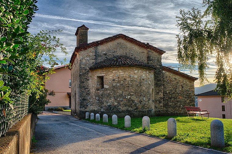
Photo: Cristian Bianchi, CC BY-SA 3.0.
Santi Pietro e Paolo Oratory a Rolino is a church, which is situated 1 km east of Lugano, Pista Ghiaccio.
Chiesa di Santa Maria a Pazzalino
Church

Photo: Cristian Bianchi, CC BY-SA 3.0.
Chiesa di Santa Maria a Pazzalino is a church, which is situated 1¼ km southeast of Lugano, Pista Ghiaccio.
Places in the Area
Nearby places include Porza and Pregassona.
Porza
Village

Photo: Peter Forster, CC BY-SA 2.0.
Porza is a municipality in the district of Lugano in the canton of Ticino in Switzerland.
Pregassona
Suburb
Pregassona is a quarter of the city of Lugano, Switzerland. Pregassona was formerly a municipality of its own, having been incorporated into Lugano in 2004.
Viganello
Suburb
Viganello is a quarter of the city of Lugano, Switzerland. Viganello was formerly a municipality of its own, having been incorporated into Lugano in 2004.
Lugano, Pista Ghiaccio
- Type: Bus stop
- Wheelchair access: yes
- Category: transportation
- Location: Canobbio, Lugano District, Ticino, Switzerland, Central Europe, Europe
- View on OpenStreetMap
Latitude
46.02627° or 46° 1′ 35″ northLongitude
8.96513° or 8° 57′ 55″ eastElevation
273 metres (896 feet)Operator
TPLOpen location code
8FRC2XG8+G3OpenStreetMap ID
node 3301479345OpenStreetMap feature
highway=bus_stopOpenStreetMap feature
public_transport=platformOpenStreetMap attribute
wheelchair=yes
This page is based on OpenStreetMap, Wikidata, and Wikimedia Commons.
We’d love your help improving our open data sources. Thank you for contributing.
Satellite Map
Discover Lugano, Pista Ghiaccio from above in high-definition satellite imagery.
Notable Places Nearby
Highlights include Reseghina and Pista di ghiaccio della Resega.
Nearby Places
Explore places such as Casetta gialla and Lugano, Pista Ghiaccio.
Ticino: Must-Visit Destinations
Delve into Lugano, Bellinzona, Locarno, and Ascona.
Curious Bus Stops to Discover
Uncover intriguing bus stops from every corner of the globe.
About Mapcarta. Data © OpenStreetMap contributors and available under the Open Database License". Text is available under the CC BY-SA 4.0 license, except for photos, directions, and the map. Photo: Wikimedia, CC BY-SA 3.0.