Rosa Steinhart
Rosa Steinhart is a memorial in Dresden, Saxon Elbland, Saxony. Rosa Steinhart is situated nearby to Trachenberger Platz, as well as near the sports venue Mein Lady Fitnessclub.| Tap on a place to explore it |
- Type: Memorial
- Inscription: “Hier wohnte Rosa Steinhart Jg. 1885 interniert 1942 Hellerberge deportiert 1943 Auschwitz ermordet 3.3.1943”
- Wheelchair access: yes
Places of Interest Nearby
Highlights include Trachenberger Platz and Straßenbahnmuseum Dresden.

Straßenbahnmuseum Dresden
Museum
 Straßenbahnmuseum Dresden is situated 180 metres northeast of Rosa Steinhart.
Stasi-Unterlagen-Archiv Dresden
Government office
 Stasi-Unterlagen-Archiv Dresden is a government office, which is situated 330 metres southwest of Rosa Steinhart.
Places in the Area
Nearby places include Pieschen and Trachenberge.
Pieschen
Suburb

Photo: Wikimedia, CC BY-SA 3.0.
Pieschen is a quarter of the city of Dresden located on the northern bank of the Elbe River in the German state of Saxony.
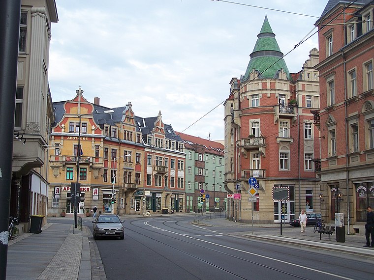
Trachenberge
Suburb

Photo: X-Weinzar, CC BY-SA 3.0.
Trachenberge is a quarter in the city of Dresden located in the state of Saxony in Germany. It between in the northern part of the city between Pieschen and Kaditz. The area is known for its hillside and views of the Elbe river valley.
Rosa Steinhart
- Category: historic site
- Location: Dresden, Saxon Elbland, Saxony, Germany, Central Europe, Europe
- View on OpenStreetMap
Latitude
51.08491° or 51° 5′ 6″ northLongitude
13.72774° or 13° 43′ 40″ eastInception
November 26th, 2012Network
Stolpersteine DresdenOpen location code
9F3M3PMH+X3OpenStreetMap ID
node 3305894369OpenStreetMap feature
historic=memorialOpenStreetMap attribute
wheelchair=yes
This page is based on OpenStreetMap, Wikidata, and Wikimedia Commons.
We’d love your help improving our open data sources. Thank you for contributing.
Satellite Map
Discover Rosa Steinhart from above in high-definition satellite imagery.
Notable Places Nearby
Highlights include Trachenberger Platz and Mein Lady Fitnessclub.
Nearby Places
Explore places such as GamesBroker and Technikhouse.
Saxon Elbland: Must-Visit Destinations
Delve into Meißen, Riesa, Radebeul, and Freital.
Curious Memorials to Discover
Uncover intriguing memorials from every corner of the globe.
About Mapcarta. Data © OpenStreetMap contributors and available under the Open Database License". Text is available under the CC BY-SA 4.0 license, except for photos, directions, and the map. Photo: Kreidefossil, CC BY-SA 3.0.