Seidenhof-Cafe
Seidenhof-Cafe is a café in Stäfa, Meilen District, Canton of Zurich. Seidenhof-Cafe is situated nearby to the post office Filiale 8712 Stäfa, as well as near Stäfa railway station.| Tap on a place to explore it |
Places of Interest Nearby
Highlights include Stäfa railway station and Verena Stäfa.
Stäfa railway station
Railway station
 Stäfa is a railway station in the Swiss canton of Zurich, situated in the municipality of Stäfa on the eastern shore of Lake Zurich. The station is located on the Lake Zurich right-bank line, within fare zone 143 of the Zürcher Verkehrsverbund. Stäfa railway station is situated 200 metres east of Seidenhof-Cafe.
Verena Stäfa
Church

Photo: Charly Bernasconi, CC BY-SA 4.0.
Verena Stäfa is a church, which is situated 620 metres east of Seidenhof-Cafe.
Reformed Church with Rectory
Church

Photo: Roland zh, CC BY-SA 3.0.
Reformed Church with Rectory is situated 1 km east of Seidenhof-Cafe.
Places in the Area
Nearby places include Mutzmalen and Stäfa.
Mutzmalen
Hamlet
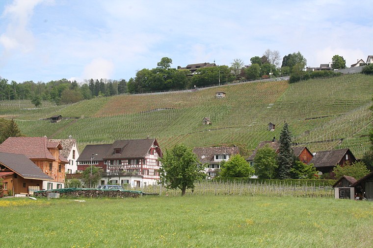
Photo: Parpan05, CC BY-SA 3.0.
Mutzmalen is a small village between Stäfa and Männedorf, in the canton of Zürich in Switzerland.
Stäfa
Town

Photo: Roland zh, CC BY-SA 3.0.
Stäfa is a municipality in the district of Meilen in the canton of Zürich in Switzerland.
Kehlhof
Hamlet
Kehlhof is a village near Rapperswil, Switzerland. It is located on the north bank of the lake of Zurich and is part of the political municipality of Stäfa.
Seidenhof-Cafe
- Type: Café
- Location: Stäfa, Meilen District, Canton of Zurich, Switzerland, Central Europe, Europe
- View on OpenStreetMap
Latitude
47.24107° or 47° 14′ 28″ northLongitude
8.71916° or 8° 43′ 9″ eastOpen location code
8FVC6PR9+CMOpenStreetMap ID
node 3315186412OpenStreetMap feature
amenity=cafe
This page is based on OpenStreetMap, Wikidata, and Wikimedia Commons.
We’d love your help improving our open data sources. Thank you for contributing.
Satellite Map
Discover Seidenhof-Cafe from above in high-definition satellite imagery.
Notable Places Nearby
Highlights include Filiale 8712 Stäfa and Polizeiposten Stäfa.
Nearby Places
Explore places such as Brocki and Seidenhof.
Switzerland: Must-Visit Destinations
Delve into Zurich, Berne, Geneva, and Basel.
Curious Cafés to Discover
Uncover intriguing cafés from every corner of the globe.
About Mapcarta. Data © OpenStreetMap contributors and available under the Open Database License". Text is available under the CC BY-SA 4.0 license, except for photos, directions, and the map. Photo: Wikimedia, CC0.