Ořechovna
Ořechovna is a peak in Milínov, Plzeň-South District, Plzeň Region and has an elevation of 470 metres. Ořechovna is situated nearby to the locality Zátiší, as well as near the village Kornatice.| Tap on a place to explore it |
Places of Interest
Highlights include Zvoníčkovna and Castle Lopata.


Kaple svatého Petra a Pavla
Church
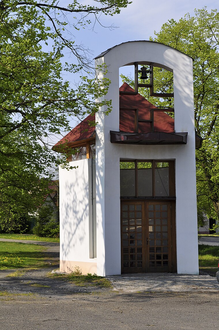
Photo: Wikimedia, CC BY-SA 3.0.
Kaple svatého Petra a Pavla is a church.
Places in the Area
Nearby places include Kornatice and Mešno.
Kornatice
Village

Photo: Krabat77, CC BY-SA 3.0.
Kornatice is a municipality and village in Rokycany District in the Plzeň Region of the Czech Republic. It has about 300 inhabitants. Kornatice lies approximately 10 kilometres south of Rokycany, 19 km south-east of Plzeň, and 76 km south-west of Prague.
Mešno
Village

Photo: Wikimedia, CC BY-SA 3.0.
Mešno is a municipality and village in Rokycany District in the Plzeň Region of the Czech Republic. It has about 80 inhabitants. Mešno lies approximately 12 kilometres south of Rokycany, 21 km south-east of Plzeň, and 75 km south-west of Prague.
Kakejcov
Village

Photo: Wikimedia, CC BY-SA 3.0.
Kakejcov is a municipality and village in Rokycany District in the Plzeň Region of the Czech Republic. It has about 100 inhabitants. Kakejcov lies approximately 10 kilometres south of Rokycany, 21 km south-east of Plzeň, and 74 km south-west of Prague.
Ořechovna
- Type: Peak with an elevation of 470 metres
- Category: landform
- Location: Milínov, Plzeň-South District, Plzeň Region, Czech Republic, Central Europe, Europe
- View on OpenStreetMap
Latitude
49.6548° or 49° 39′ 17″ northLongitude
13.579° or 13° 34′ 44″ eastElevation
470 metres (1,542 feet)Open location code
8FXMMH3H+WJOpenStreetMap ID
node 3336675614OpenStreetMap feature
natural=peak
This page is based on OpenStreetMap, Wikidata, and Wikimedia Commons.
We’d love your help improving our open data sources. Thank you for contributing.
Satellite Map
Discover Ořechovna from above in high-definition satellite imagery.
Localities in the Area
Explore places such as Zátiší and Pod Kukárnou.
Notable Places Nearby
Highlights include Kornatice and Hranka.
Czech Republic: Must-Visit Destinations
Delve into Prague, Brno, Pilsen, and Ostrava.
Curious Peaks to Discover
Uncover intriguing peaks from every corner of the globe.
About Mapcarta. Data © OpenStreetMap contributors and available under the Open Database License". Text is available under the CC BY-SA 4.0 license, except for photos, directions, and the map. Photo: john mcsporran, CC BY 2.0.