Pegel Unterwart
Pegel Unterwart is a monitoring station in Oberwart, Burgenland. Pegel Unterwart is situated nearby to the police station Autobahnpolizeiinspektion Oberwart, as well as near the public building Inform Hallen.| Tap on a place to explore it |
Places of Interest Nearby
Highlights include Oberwart and Bezirksgericht Oberwart.
Oberwart
Town hall

Photo: Bwag, CC BY-SA 4.0.
Oberwart is a town in Burgenland in southeast Austria on the banks of the Pinka River, and the capital of the district of the same name. With almost 8,000 inhabitants it’s the third largest town in Burgenland, after Eisenstadt and Neusiedl am See. Oberwart is situated 1¼ km north of Pegel Unterwart.
Bezirksgericht Oberwart
Courthouse

Photo: Ufoao, CC BY-SA 3.0 at.
Bezirksgericht Oberwart is a courthouse, which is situated 1¼ km north of Pegel Unterwart.
Evangelische Friedhofskirche Oberwart
Church

Photo: Funke, CC BY-SA 4.0.
Evangelische Friedhofskirche Oberwart is a church, which is situated 1 km north of Pegel Unterwart.
Places in the Area
Nearby places include Sankt Martin in der Wart and Eisenzicken.
Sankt Martin in der Wart
Village

Photo: Funke, CC BY-SA 4.0.
Sankt Martin in der Wart is a village, which is situated 3 km northeast of Pegel Unterwart.
Eisenzicken
Village

Photo: Darinko, Public domain.
Eisenzicken is a small community in Burgenland, Austria that belongs to the neighbouring village of Unterwart. It had a population of 240 in 2001. Eisenzicken is situated 3 km east of Pegel Unterwart.
Drumling
Village
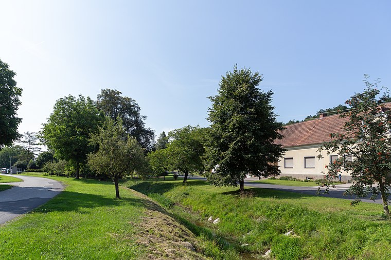
Photo: Tsui, CC BY-SA 4.0.
Drumling is a village, which is situated 4½ km northeast of Pegel Unterwart.
Pegel Unterwart
- Type: Monitoring station
- Location: Oberwart, Oberwart District, Burgenland, Austria, Central Europe, Europe
- View on OpenStreetMap
Latitude
47.2778° or 47° 16′ 40″ northLongitude
16.21867° or 16° 13′ 7″ eastOperator
Hydrographischer Dienst BurgenlandOpen location code
8FVR76H9+4FOpenStreetMap ID
node 334786366OpenStreetMap feature
man_made=monitoring_station
This page is based on OpenStreetMap, Wikidata, and Wikimedia Commons.
We’d love your help improving our open data sources. Thank you for contributing.
Satellite Map
Discover Pegel Unterwart from above in high-definition satellite imagery.
Notable Places Nearby
Highlights include Autobahnpolizeiinspektion Oberwart and Inform Hallen.
Nearby Places
Explore places such as VBB-Ticketshop and Pinka Center.
Burgenland: Must-Visit Destinations
Delve into Eisenstadt, Neusiedl am See, Rust, and Güssing.
Curious Monitoring Stations to Discover
Uncover intriguing monitoring stations from every corner of the globe.
About Mapcarta. Data © OpenStreetMap contributors and available under the Open Database License". Text is available under the CC BY-SA 4.0 license, except for photos, directions, and the map. Photo: Wikimedia, CC BY-SA 4.0.