Centro de Salud San Felipe
Centro de Salud San Felipe is a clinic in Jaén, Jaén, Andalusia which is located on Calle Juan Montilla. Centro de Salud San Felipe is situated nearby to the grassland Glorieta de Doña Lola Torres, as well as near the college Seminario Diocesano.| Tap on a place to explore it |
Places of Interest Nearby
Highlights include Jaén Cathedral and Antigua Iglesia del Convento de San José y Camarín de Jesús.
Jaén Cathedral
Church
 The Cathedral of the Assumption is a Roman Catholic cathedral located in the city of Jaén, Spain. The current cathedral was conceived in the 16th century to replace a previous 15th century Gothic edifice. Jaén Cathedral is situated 620 metres northeast of Centro de Salud San Felipe.
Antigua Iglesia del Convento de San José y Camarín de Jesús
Church
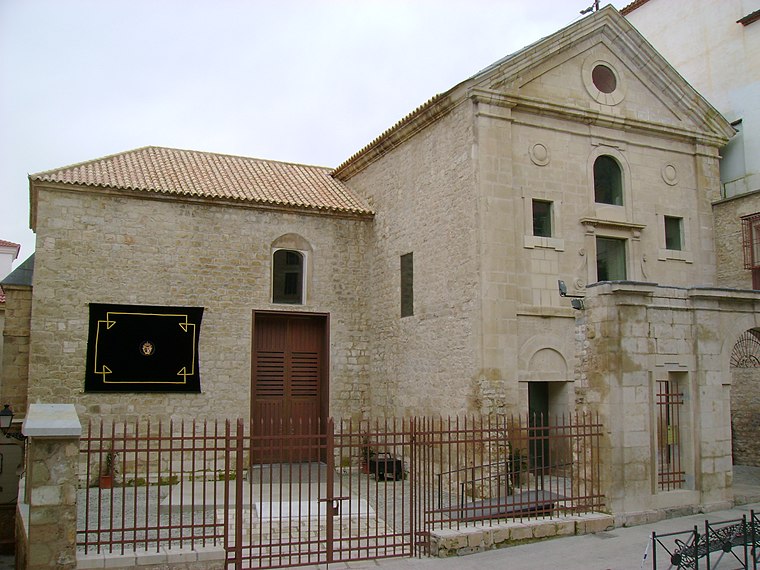
Photo: Kordas, CC BY-SA 3.0.
Antigua Iglesia del Convento de San José y Camarín de Jesús is a church, which is situated 240 metres northeast of Centro de Salud San Felipe.
Convent of Santa Teresa
Church

Photo: Kordas, CC BY-SA 3.0.
Convent of Santa Teresa is a church, which is situated 350 metres northeast of Centro de Salud San Felipe.
Places in the Area
Nearby places include La Gloria and San Ildefonso.


Centro de Salud San Felipe
- Type: Clinic
- Address: Calle Juan Montilla 4, Jaén, 23002
- Category: health care
- Location: Jaén, Jaén, Andalusia, Spain, Iberia, Europe
- View on OpenStreetMap
Latitude
37.76154° or 37° 45′ 42″ northLongitude
-3.79531° or 3° 47′ 43″ westOpen location code
8C9RQ663+JVOpenStreetMap ID
node 3353760307OpenStreetMap feature
amenity=clinicOpenStreetMap feature
healthcare=clinic
This page is based on OpenStreetMap, Wikidata, and Wikimedia Commons.
We’d love your help improving our open data sources. Thank you for contributing.
Satellite Map
Discover Centro de Salud San Felipe from above in high-definition satellite imagery.
Places with the Same Name
Discover other places named “Centro de Salud San Felipe”.
Notable Places Nearby
Highlights include Glorieta de Doña Lola Torres and Seminario Diocesano.
Nearby Places
Explore places such as Pescadería Manolo and La Despensa del Ama de Casa.
Curious Clinics to Discover
Uncover intriguing clinics from every corner of the globe.
About Mapcarta. Data © OpenStreetMap contributors and available under the Open Database License". Text is available under the CC BY-SA 4.0 license, except for photos, directions, and the map. Photo: Wikimedia, CC0.