Joachim-Gießner-Denkmal
Joachim-Gießner-Denkmal is a memorial in Herzberg am Harz, Göttingen, Lower Saxony. Joachim-Gießner-Denkmal is situated nearby to the square Esperanto-Platz, as well as near the bus station Herzberg Bahnhof.| Tap on a place to explore it |
Places of Interest Nearby
Highlights include Herzberg station and St. Josef (Herzberg am Harz).
Herzberg station
Railway station

Photo: ChristianSchd, CC BY-SA 4.0.
Herzberg station is a railway station in the municipality of Herzberg am Harz, located in the Göttingen district in Lower Saxony, Germany.
St. Josef (Herzberg am Harz)
Church

Photo: Kirchenfan, CC0.
St. Josef (Herzberg am Harz) is a church, which is situated 1 km north of Joachim-Gießner-Denkmal.
Knickelberg
Peak
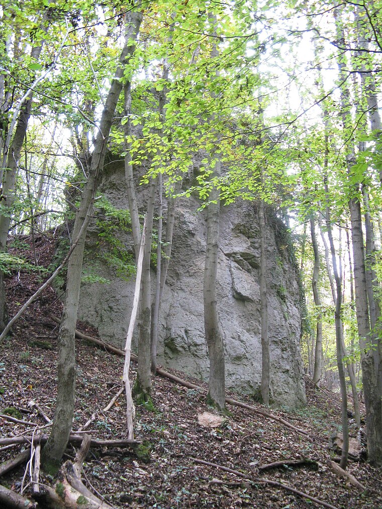
Photo: Waldmaus, Public domain.
Knickelberg is a peak, which is situated 2½ km east of Joachim-Gießner-Denkmal.
Places in the Area
Nearby places include Hägerfeld and Bärenwinkel.
Hägerfeld
Locality

Photo: T2425b, CC BY-SA 4.0.
Hägerfeld is a locality, which is situated 3 km north of Joachim-Gießner-Denkmal.
Bärenwinkel
Locality
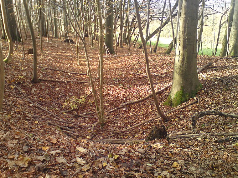
Photo: T2425b, CC BY-SA 4.0.
Bärenwinkel is a locality, which is situated 3 km north of Joachim-Gießner-Denkmal.
Scharzfeld
Village

Photo: Kassandro, CC BY-SA 3.0.
Scharzfeld is a village in the borough of Herzberg am Harz in the district of Göttingen in South Lower Saxony, Germany. Scharzfeld lies at a height of about 220 m above sea level and has 1,765 inhabitants. Scharzfeld is situated 3½ km southeast of Joachim-Gießner-Denkmal.
Joachim-Gießner-Denkmal
- Type: Memorial
- Wheelchair access: limited
- Category: historic site
- Location: Herzberg am Harz, Göttingen, Southern Lower Saxony, Lower Saxony, Germany, Central Europe, Europe
- View on OpenStreetMap
Latitude
51.64422° or 51° 38′ 39″ northLongitude
10.33047° or 10° 19′ 50″ eastOpen location code
9F3GJ8VJ+M5OpenStreetMap ID
node 3359689211OpenStreetMap feature
historic=memorialOpenStreetMap attribute
wheelchair=limited
This page is based on OpenStreetMap, Wikidata, and Wikimedia Commons.
We’d love your help improving our open data sources. Thank you for contributing.
Satellite Map
Discover Joachim-Gießner-Denkmal from above in high-definition satellite imagery.
Notable Places Nearby
Highlights include Esperanto-Platz and Herzberg Bahnhof.
Nearby Places
Explore places such as Herzberg (Harz) and Hauptbahnhof.
Southern Lower Saxony: Must-Visit Destinations
Delve into Göttingen, Goslar, Hamelin, and Hann. Münden.
Curious Memorials to Discover
Uncover intriguing memorials from every corner of the globe.
About Mapcarta. Data © OpenStreetMap contributors and available under the Open Database License". Text is available under the CC BY-SA 4.0 license, except for photos, directions, and the map. Photo: Wikimedia, CC BY-SA 3.0.