Test Food
Test Food is a restaurant in Kirula, Thimbirigasyaya Divisional Secretariat, Western Province. Test Food is situated nearby to Park Hospital, as well as near Anderson Flats Community center.| Tap on a place to explore it |
Places of Interest Nearby
Highlights include Colts Cricket Club Ground and Lanka Hospitals.
Colts Cricket Club Ground
Pitch
Colts Cricket Club Ground is a cricket ground on Park Road in Havelock Town, Colombo, Sri Lanka, in the south-east corner of Havelock Park. It has been the home of Colts Cricket Club since 1971. Colts Cricket Club Ground is situated 400 metres southwest of Test Food.
Lanka Hospitals
Hospital
Lanka Hospital is multi-speciality tertiary care hospital in Sri Lanka and is one of the largest private hospitals in the country. It is a subsidiary of Sri Lanka Insurance Corporation. Lanka Hospitals is situated 630 metres east of Test Food.
Havelock Park
Pitch
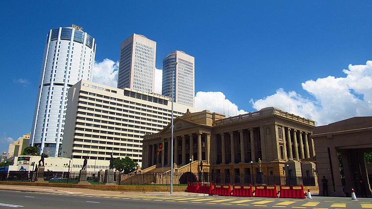
Photo: Rehman, CC BY-SA 4.0.
Havelock Park is a multi-purpose stadium in Havelock Town, Colombo, Sri Lanka. It is one of the oldest grounds in the country. The sporting complex is located in Havelock Town and is bordered by Havelock Road, Park Road and Isipathana Mawatha. Havelock Park is situated 420 metres southwest of Test Food.
Places in the Area
Nearby places include Nawala and Nugegoda.
Nawala
Village

Photo: Honeplus, CC BY-SA 3.0.
Nawala is an up-market residential suburb of Colombo, within the Kotte municipality in the western province of Sri Lanka, and is approximately 6 km south of Colombo City.
Nugegoda
Town

Photo: Honeplus, CC BY-SA 3.0.
Nugegoda is a large, densely populated suburb of Colombo, Sri Lanka. It is located just south of Sri Jayawardenapura Kotte/Maharagama and north-east of Dehiwela Mt. Lavinia. It has a population of over 250,000 people. Nugegoda is situated 3 km southeast of Test Food.
Rajagiriya
Suburb
Rajagiriya is a part of the Sri Lanka's administrative capital of Sri Jayawardenapura. A fairly large suburb bordering Colombo, Rajagiriya lies between Borella and Ethul Kotte, straddling Parliament Road. Rajagiriya is situated 3½ km northeast of Test Food.
Test Food
- Type: Restaurant
- Category: food
- Location: Kirula, Thimbirigasyaya Divisional Secretariat, Colombo District, Western Province, Sri Lanka, South Asia, Asia
- View on OpenStreetMap
Latitude
6.88896° or 6° 53′ 20″ northLongitude
79.87009° or 79° 52′ 12″ eastOpen location code
6JRXVVQC+H2OpenStreetMap ID
node 3403171831OpenStreetMap feature
amenity=restaurant
This page is based on OpenStreetMap, Wikidata, and Wikimedia Commons.
We’d love your help improving our open data sources. Thank you for contributing.
Satellite Map
Discover Test Food from above in high-definition satellite imagery.
Notable Places Nearby
Highlights include Park Hospital and Anderson Flats Community center.
Nearby Places
Explore places such as Selyn Showroom and Tasty Caterer.
Western Province: Must-Visit Destinations
Delve into Colombo, Sri Jayawardenapura Kotte, Negombo, and Beruwela.
Curious Restaurants to Discover
Uncover intriguing restaurants from every corner of the globe.
About Mapcarta. Data © OpenStreetMap contributors and available under the Open Database License". Text is available under the CC BY-SA 4.0 license, except for photos, directions, and the map. Photo: Simisa, CC BY-SA 3.0.