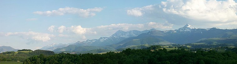
Col de Culentous
Col de Culentous is a mountain saddle in Gazost, Hautes-Pyrénées, Occitanie and has an elevation of 1,733 metres. Col de Culentous is situated nearby to the locality La Courade, as well as near Dosse.| Tap on a place to explore it |
Places of Interest
Highlights include Pic du Montaigu and Église Saint-Vincent de Soulagnets.
Église Saint-Vincent de Soulagnets
Church

Photo: Sotos, CC BY-SA 4.0.
Église Saint-Vincent de Soulagnets is a church.
Places in the Area
Nearby places include Germs-sur-l’Oussouet and Labassère.
Germs-sur-l’Oussouet
Village

Photo: Florent Pécassou, CC BY-SA 3.0.
Germs-sur-l'Oussouet is a commune in the Hautes-Pyrénées department in south-western France.
Labassère
Village

Photo: Florent Pécassou, CC BY-SA 3.0.
Labassère is a commune in the Hautes-Pyrénées department in south-western France.
Ourdis-Cotdoussan
Village

Photo: ChristianeB, CC BY-SA 3.0.
Ourdis-Cotdoussan is a commune in the Hautes-Pyrénées department in south-western France.
Col de Culentous
- Type: Mountain saddle with an elevation of 1,733 metres
- Category: landform
- Location: Gazost, Arrondissement of Argelès-Gazost, Hautes-Pyrénées, Occitanie, France, Europe
- View on OpenStreetMap
Latitude
43.0025° or 43° 0′ 9″ northLongitude
0.076° or 0° 4′ 34″ eastElevation
1,733 metres (5,686 feet)Open location code
8FM2233G+29OpenStreetMap ID
node 3414017037OpenStreetMap feature
natural=saddle
This page is based on OpenStreetMap, Wikidata, and Wikimedia Commons.
We’d love your help improving our open data sources. Thank you for contributing.
Satellite Map
Discover Col de Culentous from above in high-definition satellite imagery.
Localities in the Area
Explore places such as La Courade and Dosse.
Notable Places Nearby
Highlights include Pic de l’Oussouet and Peyrenere.
Hautes-Pyrénées: Must-Visit Destinations
Delve into Lourdes, Tarbes, Bagnères-de-Bigorre, and Pyrénées National Park.
Curious Mountain Saddles to Discover
Uncover intriguing mountain saddles from every corner of the globe.
About Mapcarta. Data © OpenStreetMap contributors and available under the Open Database License". Text is available under the CC BY-SA 4.0 license, except for photos, directions, and the map. Photo: JLPC, CC BY-SA 3.0.