Berdó-dűlő
Berdó-dűlő is a locality in Pest County, Central Hungary. Berdó-dűlő is situated nearby to the suburb Sadove, as well as near the locality Pojána-dűlő.| Tap on a place to explore it |
Places of Interest
Highlights include Ezüst-hegy No 2 Cave and Papp Ferenc Cave.


Places in the Area
Nearby places include Üröm and Pomáz.
Üröm
Village

Photo: Civertan, CC BY-SA 3.0.
Üröm is a village in Pest county, Hungary. In 2008, the population was 6,790.
Pomáz

Photo: Wikimedia, CC BY-SA 2.5 hu.
Pomáz is a town in the Danube Bend region. It is on the HÉV line Budapest–Szentendre northwest from Budapest. Its neighbor towns are Budakalász, Csobánka and Szentendre. A popular place to start trips in the Pilis mountains.
Római Part
Neighborhood
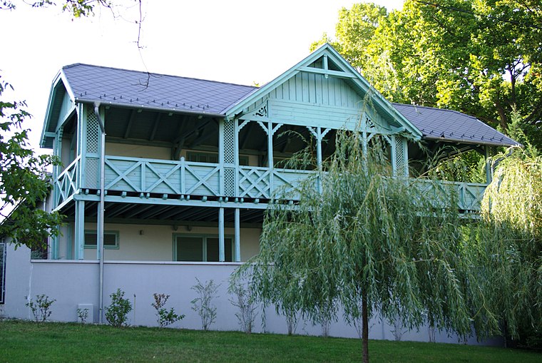
Photo: Wikimedia, CC BY-SA 2.5 hu.
The Római Part is a riverside beach in the capital of Hungary, Budapest. It is located at an approximately 5 kilometers long stretch along the Danube riverside of the city's North-Western 3rd district. Római Part is situated 5 km southeast of Berdó-dűlő.
Berdó-dűlő
- Type: Locality
- Location: Pest County, Central Hungary, Hungary, Central Europe, Europe
- View on OpenStreetMap
Latitude
47.61037° or 47° 36′ 37″ northLongitude
19.02141° or 19° 1′ 17″ eastOpen location code
8FVXJ26C+4HOpenStreetMap ID
node 3432099792OpenStreetMap feature
place=locality
This page is based on OpenStreetMap, Wikidata, and Wikimedia Commons.
We’d love your help improving our open data sources. Thank you for contributing.
Satellite Map
Discover Berdó-dűlő from above in high-definition satellite imagery.
Places with the Same Name
Discover other places named “Berdó-dűlő”.
Localities in the Area
Explore places such as Sadove and Pojána-dűlő.
Notable Places Nearby
Highlights include Wander Dogs kutyakiképzés and Sadove játszótér.
Pest County: Must-Visit Destinations
Delve into Érd, Cegléd, Gödöllő, and Budaörs.
Curious Localities to Discover
Uncover intriguing localities from every corner of the globe.
About Mapcarta. Data © OpenStreetMap contributors and available under the Open Database License". Text is available under the CC BY-SA 4.0 license, except for photos, directions, and the map. Photo: ucsendre, CC BY-SA 3.0.