Zöld golyó tekéző
Zöld golyó tekéző is a pitch in Veszprém County, Central Transdanubia which is located on Fő utca. Zöld golyó tekéző is situated nearby to the church Krisztusban Hívő Nazarénus Gyülekezetek Szentantalfai Gyülekezete, as well as near the town hall Zánkai Közös Önkormányzati Hivatal Kirendeltsége.| Tap on a place to explore it |
Places of Interest Nearby
Highlights include Hegyestű.
Hegyestű
Peak

Photo: Chmee2, CC BY-SA 3.0.
Hegyestű is a peak, which is situated 3 km southwest of Zöld golyó tekéző.
Places in the Area
Nearby places include Monoszló and Dörgicse.
Monoszló
Village
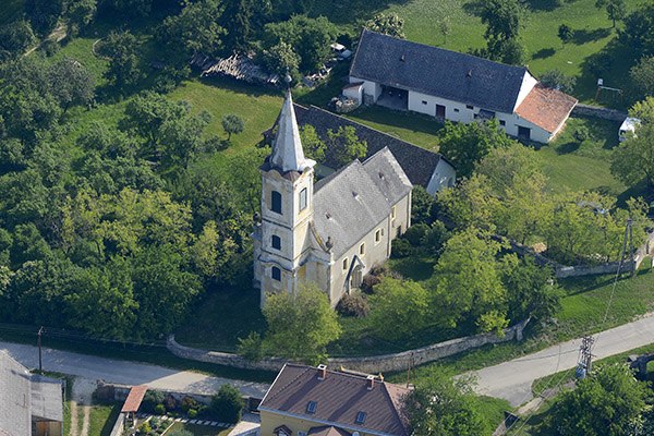
Photo: Civertan, CC BY-SA 4.0.
Monoszló is a village in Veszprém county, Hungary. Monoszló is situated 3 km west of Zöld golyó tekéző.
Dörgicse
Village

Photo: Szilas, Public domain.
Dörgicse is a village in Veszprém county, Hungary. It consists of three hamlets built on separate hills 4.3 km north of Lake Balaton. Dörgicse is famous for the wine production and its three medieval churches which were devastated during the Turkish wars in the 16th and 17th centuries. Dörgicse is situated 3½ km east of Zöld golyó tekéző.
Mencshely
Village

Photo: Regasterios, CC BY-SA 4.0.
Mencshely is a village in Veszprém county, Hungary. Mencshely is situated 4 km northeast of Zöld golyó tekéző.
Zöld golyó tekéző
- Type: Pitch
- Address: Fő utca 70, Szentantalfa, 8272
- Categories: recreation area, nine-pin bowling, and sports location
- Location: Veszprém County, Central Transdanubia, Hungary, Central Europe, Europe
- View on OpenStreetMap
Latitude
46.91157° or 46° 54′ 42″ northLongitude
17.67512° or 17° 40′ 30″ eastOpen location code
8FRVWM6G+J2OpenStreetMap ID
node 3458341709OpenStreetMap feature
leisure=pitchOpenStreetMap feature
sport=9pin
This page is based on OpenStreetMap, Wikidata, and Wikimedia Commons.
We’d love your help improving our open data sources. Thank you for contributing.
Satellite Map
Discover Zöld golyó tekéző from above in high-definition satellite imagery.
Notable Places Nearby
Highlights include Krisztusban Hívő Nazarénus Gyülekezetek Szentantalfai Gyülekezete and Zánkai Közös Önkormányzati Hivatal Kirendeltsége.
Nearby Places
Explore places such as Tekézős Pizzéria and ABC.
Veszprém County: Must-Visit Destinations
Delve into Veszprém, Pápa, Sümeg, and Várpalota.
Curious Pitches to Discover
Uncover intriguing pitches from every corner of the globe.
About Mapcarta. Data © OpenStreetMap contributors and available under the Open Database License". Text is available under the CC BY-SA 4.0 license, except for photos, directions, and the map. Photo: Wikimedia, CC0.