Régi sírok
Régi sírok is a cemetery in Vas County, Western Transdanubia. Régi sírok is situated nearby to the church Szent Imre-templom, as well as near the lake Víztározó.| Tap on a place to explore it |
Places of Interest Nearby
Highlights include Saint Stephen Church.
Saint Stephen Church
Church

Photo: Ueb-at, CC BY-SA 3.0.
Saint Stephen Church is situated 2½ km northeast of Régi sírok.
Places in the Area
Nearby places include Jakabháza and Rönök.

Rönök
Village

Photo: Darinko, Public domain.
Rönök is a village in Vas County, Hungary. Rönök is situated 3 km southeast of Régi sírok.
Reinersdorf
Village
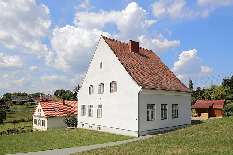
Photo: Bwag, CC BY-SA 3.0 at.
Reinersdorf is a village, which is situated 4 km northeast of Régi sírok.
Régi sírok
- Type: Cemetery
- Category: burial
- Location: Vas County, Western Transdanubia, Hungary, Central Europe, Europe
- View on OpenStreetMap
Latitude
46.99644° or 46° 59′ 47″ northLongitude
16.34266° or 16° 20′ 34″ eastOpen location code
8FRRX8WV+H3OpenStreetMap ID
node 3465190213OpenStreetMap feature
amenity=grave_yard
This page is based on OpenStreetMap, Wikidata, and Wikimedia Commons.
We’d love your help improving our open data sources. Thank you for contributing.
Satellite Map
Discover Régi sírok from above in high-definition satellite imagery.
Places with the Same Name
Discover other places named “Régi sírok”.
Notable Places Nearby
Highlights include Szent Imre-templom and Víztározó.
Nearby Places
Explore places such as A honfoglalás 1100 éves emlékére and Szent-Imre templom.
Vas County: Must-Visit Destinations
Delve into Kőszeg, Szombathely, Körmend, and Szentgotthárd.
Curious Cemeteries to Discover
Uncover intriguing cemeteries from every corner of the globe.
About Mapcarta. Data © OpenStreetMap contributors and available under the Open Database License". Text is available under the CC BY-SA 4.0 license, except for photos, directions, and the map. Photo: Wikimedia, CC0.