Haltepunkt Mannheim-Friedrichsfeld Süd
Haltepunkt Mannheim-Friedrichsfeld Süd is a railway stop in Mannheim, Karlsruhe Region, Baden-Württemberg. Haltepunkt Mannheim-Friedrichsfeld Süd is situated nearby to the church Johannes-Calvin-Kirche, as well as near the community center Johannes Calvin Gemeindehaus.| Tap on a place to explore it |
Photo: Zwiadowca21, CC BY-SA 4.0.
- Type: Railway stop
- Description: railway station in Germany
- Wheelchair access: yes
Places of Interest Nearby
Highlights include Neu-Edingen/Mannheim-Friedrichsfeld station and Hirschacker und Dossenwald.
Neu-Edingen/Mannheim-Friedrichsfeld station
Railway station
Neu-Edingen/Mannheim-Friedrichsfeld station is a separation station in the Mannheim district of Friedrichsfeld on the border with the municipality of Edingen-Neckarhausen in the German state of Baden-Württemberg. Neu-Edingen/Mannheim-Friedrichsfeld station is situated 1¼ km northeast of Haltepunkt Mannheim-Friedrichsfeld Süd.

Schloss Neckarhausen
Town hall
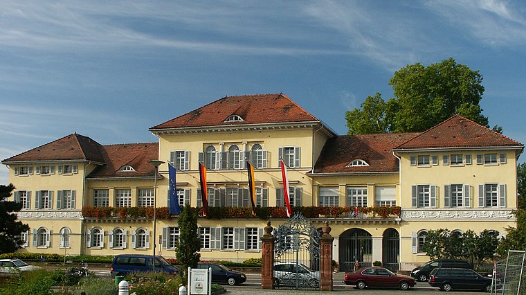
Photo: 2micha, CC BY-SA 3.0.
Schloss Neckarhausen is a town hall, which is situated 3½ km northeast of Haltepunkt Mannheim-Friedrichsfeld Süd.
Places in the Area
Nearby places include Grenzhof and Hochstätt.
Grenzhof
Hamlet

Photo: 4028mdk09, CC BY-SA 3.0.
Grenzhof is a hamlet, which is situated 2½ km southeast of Haltepunkt Mannheim-Friedrichsfeld Süd.
Hochstätt
Suburb
 Hochstätt is a suburb, which is situated 3 km northwest of Haltepunkt Mannheim-Friedrichsfeld Süd.
Ilvesheim
Village

Photo: Randy43, Public domain.
Ilvesheim is a municipality of about 9,300 residents in the district of Rhein-Neckar in Baden-Württemberg in Germany. It is one of the first towns located along the famous Bertha Benz Memorial Route. Ilvesheim is situated 4 km north of Haltepunkt Mannheim-Friedrichsfeld Süd.
Haltepunkt Mannheim-Friedrichsfeld Süd
- Categories: Haltepunkt (train stop), station located on surface, railway station, station, and transportation
- Location: Mannheim, Karlsruhe Region, Rhine-Neckar, Baden-Württemberg, Germany, Central Europe, Europe
- View on OpenStreetMap
Latitude
49.43791° or 49° 26′ 17″ northLongitude
8.57298° or 8° 34′ 23″ eastOperator
DB InfraGO AGOpen location code
8FXCCHQF+55OpenStreetMap ID
node 3469622593OpenStreetMap feature
public_transport=stationOpenStreetMap feature
railway=haltOpenStreetMap attribute
wheelchair=yesWikidata ID
Q47035195
This page is based on OpenStreetMap, Wikidata, and Wikimedia Commons.
We’d love your help improving our open data sources. Thank you for contributing.
Satellite Map
Discover Haltepunkt Mannheim-Friedrichsfeld Süd from above in high-definition satellite imagery.
In Other Languages
From French to German—“Haltepunkt Mannheim-Friedrichsfeld Süd” goes by many names.
- French: “Mannheim-Friedrichsfeld Süd Hp”
- German: “Ma-Friedr Süd Hp”
- German: “Mannheim-Friedrichsfeld Süd Hp”
- German: “Mannheim-Friedrichsfeld Süd”
Notable Places Nearby
Highlights include Johannes-Calvin-Kirche and Johannes Calvin Gemeindehaus.
Nearby Places
Explore places such as Mannheim-Friedrichsfeld Süd and Information.
Rhine-Neckar: Must-Visit Destinations
Delve into Heidelberg, Karlsruhe, Heilbronn, and Sinsheim.
Curious Railway Stops to Discover
Uncover intriguing railway stops from every corner of the globe.
About Mapcarta. Data © OpenStreetMap contributors and available under the Open Database License". Text is available under the CC BY-SA 4.0 license, except for photos, directions, and the map. Photo: Zwiadowca21, CC BY-SA 4.0.