Hafenparadies
Hafenparadies is an apartment in Krummhörn, Aurich, Lower Saxony which is located on Diekstreek. Hafenparadies is situated nearby to the art gallery Hafengalerie, as well as near Historischer Anker.| Tap on a place to explore it |
Places of Interest Nearby
Highlights include Greetsiel Church and Hohes Haus.
Greetsiel Church
Church

Photo: Carschten, CC BY-SA 3.0 de.
Greetsiel Church is situated 230 metres southwest of Hafenparadies.
Hohes Haus
Hotel

Photo: Matthias Süßen, CC BY-SA 3.0.
Hohes Haus is a hotel, which is situated 200 metres southwest of Hafenparadies.
Steinhaus
Building

Photo: Matthias Süßen, CC BY-SA 3.0.
Steinhaus is a building, which is situated 210 metres southwest of Hafenparadies.
Places in the Area
Nearby places include Greetsiel and Pilsum.
Greetsiel
Village
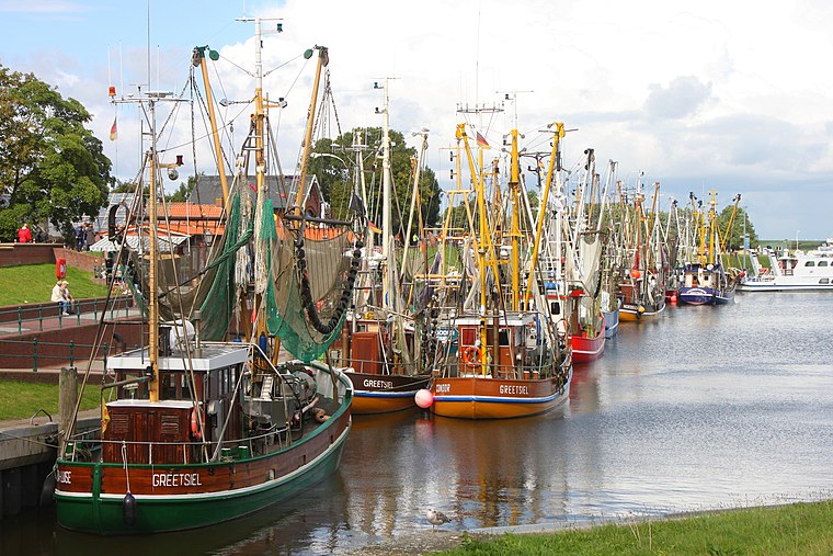 Greetsiel is a small port on the bight of Leybucht in western East Frisia, Germany, that was first documented in letters from the year 1388. Since 1972, Greetsiel has been part of the municipality of Krummhörn, which has its administrative seat in Pewsum.
Pilsum
Village

Photo: Wikimedia, CC BY-SA 4.0.
Pilsum is a village in the region of East Frisia, in Lower Saxony, Germany. It is part of the municipality of Krummhörn. The village is located between Manslagt and Greetsiel. Pilsum is situated 3 km southwest of Hafenparadies.
Leybuchtpolder
Village
Leybuchtpolder is part of the borough of Norden in East Frisia on Germany's North Sea coast and was an independent municipality until 1972. Leybuchtpolder is geologically the most recent of Norden's parishes and has 461 inhabitants. Leybuchtpolder is situated 3½ km northeast of Hafenparadies.
Hafenparadies
- Type: Apartment
- Address: Diekstreek 13a, Greetsiel, Krummhörn, 26736
- Categories: tourism, accommodation, and building
- Location: Krummhörn, Aurich, Lower Saxony, Germany, Central Europe, Europe
- View on OpenStreetMap
Latitude
53.50239° or 53° 30′ 9″ northLongitude
7.0955° or 7° 5′ 44″ eastOperator
Gästeservice Wattenmeer GmbHOpen location code
9F59G32W+X5OpenStreetMap ID
node 3495737962OpenStreetMap feature
tourism=apartment
This page is based on OpenStreetMap, Wikidata, and Wikimedia Commons.
We’d love your help improving our open data sources. Thank you for contributing.
Satellite Map
Discover Hafenparadies from above in high-definition satellite imagery.
Notable Places Nearby
Highlights include Hafengalerie and Historischer Anker.
Nearby Places
Explore places such as Klabautermann and Deichkieker.
Lower Saxony: Must-Visit Destinations
Delve into Hanover, Göttingen, Brunswick, and Wolfsburg.
Curious Apartments to Discover
Uncover intriguing apartments from every corner of the globe.
About Mapcarta. Data © OpenStreetMap contributors and available under the Open Database License". Text is available under the CC BY-SA 4.0 license, except for photos, directions, and the map. Photo: Danapit, CC BY-SA 3.0.