Arlinstown
Arlinstown is a locality in County Cork, Munster. Arlinstown is situated nearby to the locality Scart, as well as near Mill-Land.| Tap on a place to explore it |
Places of Interest
Highlights include Ballymartle railway station and Ballinhassig railway station.
Ballymartle railway station
Historic site
Ballymartle railway station was on the Cork and Kinsale Junction Railway in County Cork, Ireland.
Ballinhassig railway station
Historic site
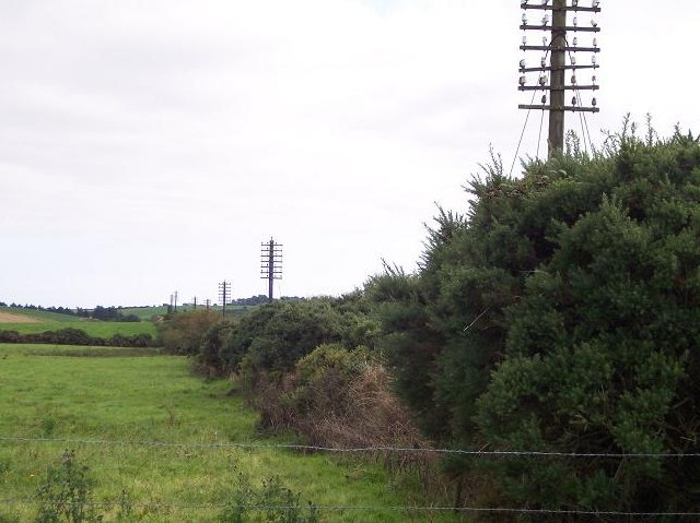
Photo: Ralph Rawlinson, CC BY-SA 2.0.
Ballinhassig railway station was on the Cork and Bandon Railway in County Cork, Ireland. Ballinhassig railway station is situated 4 km north of Arlinstown.
Places in the Area
Nearby places include Riverstick and Halfway.
Riverstick
Village

Photo: Hywel Williams, CC BY-SA 2.0.
Riverstick is a village in County Cork, Ireland. It lies halfway between Cork City and Kinsale. The village takes its name from the River Stick which flows through the village. Riverstick is situated 3 km east of Arlinstown.
Halfway
Hamlet

Photo: Ralph Rawlinson, CC BY-SA 2.0.
Halfway is a village in County Cork, in Ireland. Halfway got its name from being situated approximately halfway between Cork City and Bandon. Halfway is situated on the L2231, just off the N71, close to the neighbouring village of Ballinhassig. Halfway is situated 3½ km northwest of Arlinstown.
Ballinhassig
Village
Ballinhassig is a village in County Cork, Ireland, 10 km south of Cork city just off the N71 Bandon road and near the source of the River Owenabue. Traditionally an agricultural area, Ballinhassig has seen some growth as a commuter area, being close to Cork city. Ballinhassig is situated 4 km north of Arlinstown.
Arlinstown
- Type: Locality
- Location: County Cork, Munster, Southwest Ireland, Ireland, Britain and Ireland, Europe
- View on OpenStreetMap
Latitude
51.77714° or 51° 46′ 38″ northLongitude
-8.53886° or 8° 32′ 20″ westOpen location code
9C3HQFG6+VFOpenStreetMap ID
node 3537068204OpenStreetMap feature
place=locality
This page is based on OpenStreetMap, Wikidata, and Wikimedia Commons.
We’d love your help improving our open data sources. Thank you for contributing.
Satellite Map
Discover Arlinstown from above in high-definition satellite imagery.
In Other Languages
“Arlinstown” goes by many names.
- Irish: “Baile an Arlóntaigh”
Localities in the Area
Explore places such as Scart and Mill-Land.
Notable Places Nearby
Highlights include Sunday’s Well and Follyfoot Riding Farm.
County Cork: Must-Visit Destinations
Delve into Cork, Cobh, Kinsale, and Mallow.
Curious Localities to Discover
Uncover intriguing localities from every corner of the globe.
About Mapcarta. Data © OpenStreetMap contributors and available under the Open Database License". Text is available under the CC BY-SA 4.0 license, except for photos, directions, and the map. Photo: Wikimedia, CC BY-SA 3.0.