Garranelahan
Garranelahan is a locality in County Cork, Munster. Garranelahan is situated nearby to the locality Maulnarouga North, as well as near Aghyohil Beg.| Tap on a place to explore it |
Places of Interest
Highlights include Ballinascarthy railway station and Desert railway station.
Ballinascarthy railway station
Historic site
Ballinascarthy railway station was on the Clonakilty Extension Railway in County Cork, Ireland. Ballinascarthy railway station is situated 3½ km south of Garranelahan.
Desert railway station
Historic site
Desert railway station was on the West Cork Railway in County Cork, Ireland. Desert railway station is situated 3½ km northwest of Garranelahan.
Places in the Area
Nearby places include Ahiohill and Ballinascarty.
Ahiohill
Hamlet
Ahiohill is a small village in County Cork, Ireland. The historical spelling for the area, Aghyohil, is reflected in the names of two local townlands, Aghyohil Beg and Aghyohil More.
Ballinascarty
Village
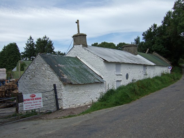
Photo: Mike Searle, CC BY-SA 2.0.
Ballinascarty, also known as Ballinascarthy, is a village in County Cork, Ireland. Ballinascarty is situated 4 km south of Garranelahan.
Shannonvale
Village
Shannonvale or Shannon Vale is a small rural village near Clonakilty in County Cork, Ireland. It lies in the civil parishes of Kilnagross and Templebryan. Shannonvale is situated 6 km south of Garranelahan.
Garranelahan
- Type: Locality
- Description: townland in Boulteen, County Cork, Ireland
- Category: townland
- Location: County Cork, Munster, Southwest Ireland, Ireland, Britain and Ireland, Europe
- View on OpenStreetMap
Latitude
51.70507° or 51° 42′ 18″ northLongitude
-8.86827° or 8° 52′ 6″ westOpen location code
9C3HP44J+2MOpenStreetMap ID
node 3539571318OpenStreetMap feature
place=localityWikidata ID
Q104304540
This page is based on OpenStreetMap, Wikidata, and Wikimedia Commons.
We’d love your help improving our open data sources. Thank you for contributing.
Satellite Map
Discover Garranelahan from above in high-definition satellite imagery.
In Other Languages
From Irish to Turkish—“Garranelahan” goes by many names.
- Irish: “An Garrán Leathan”
- Turkish: “Garranelahan”
Localities in the Area
Explore places such as Garranelahan Cross Roads and Maulnarouga North.
Notable Places Nearby
Highlights include Tobar Macloonaboy and Church of the Assumption.
County Cork: Must-Visit Destinations
Delve into Cork, Cobh, Kinsale, and Mallow.
Curious Localities to Discover
Uncover intriguing localities from every corner of the globe.
About Mapcarta. Data © OpenStreetMap contributors and available under the Open Database License". Text is available under the CC BY-SA 4.0 license, except for photos, directions, and the map. Photo: Wikimedia, CC BY-SA 3.0.