Untergueß
Untergueß is a dwelling in Leutschach an der Weinstraße, Leibnitz District, Styria. Untergueß is situated nearby to the peak Montikogel, as well as near the village Sv. Duh na Ostrem vrhu.| Tap on a place to explore it |
Places of Interest Nearby
Highlights include Kapelle Mariae Heimsuchung and Ruine Schmirnberg.
Kapelle Mariae Heimsuchung
Church

Photo: Wikimedia, CC BY-SA 3.0 at.
Kapelle Mariae Heimsuchung is a church, which is situated 1¼ km north of Untergueß.
Ruine Schmirnberg
Castle

Photo: Matthäus Merian the Elder, Public domain.
Ruine Schmirnberg is a castle in Styria, Austria. Ruine Schmirnberg is situated 2½ km southeast of Untergueß.
Holy Spirit Parish Church
Church

Photo: Clemens Stockner, CC BY-SA 4.0.
Holy Spirit Parish Church is situated 3½ km south of Untergueß.
Places in the Area
Nearby places include Sv. Duh na Ostrem vrhu and Ožbalt.
Sv. Duh na Ostrem vrhu
Village

Photo: Wolfgang glock, CC BY-SA 3.0.
Sveti Duh na Ostrem Vrhu is a dispersed settlement in the hills north of Selnica ob Dravi in northeastern Slovenia, right on the border with Austria. It gets its name from the local parish church dedicated to the Holy Spirit. Sv. Duh na Ostrem vrhu is situated 3½ km south of Untergueß.
Ožbalt
Village
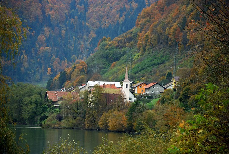
Photo: Wikimedia, CC BY-SA 3.0.
Ožbalt is a village on the left bank of the Drava River in the Municipality of Podvelka in Slovenia. Ožbalt is situated 9 km southwest of Untergueß.
Gaj nad Mariborom
Village

Photo: Matjaž Wigele, CC BY-SA 3.0.
Gaj nad Mariborom is a settlement in the hills northwest of Maribor in northeastern Slovenia. It belongs to the City Municipality of Maribor. Gaj nad Mariborom is situated 9 km east of Untergueß.
Untergueß
- Type: Dwelling
- Categories: locality, residential building, and building
- Location: Leutschach an der Weinstraße, Leibnitz District, Styria, Austria, Central Europe, Europe
- View on OpenStreetMap
Latitude
46.64499° or 46° 38′ 42″ northLongitude
15.45921° or 15° 27′ 33″ eastOpen location code
8FRQJFV5+XMOpenStreetMap ID
node 3547309918OpenStreetMap feature
place=isolated_dwelling
This page is based on OpenStreetMap, Wikidata, and Wikimedia Commons.
We’d love your help improving our open data sources. Thank you for contributing.
Satellite Map
Discover Untergueß from above in high-definition satellite imagery.
Notable Places Nearby
Highlights include Holantova kapelica and Hubertuskapelle.
Nearby Places
Explore places such as Weinbau Deutschmann and Weingut Oberguess.
Styria: Must-Visit Destinations
Delve into Graz, Leoben, Bruck an der Mur, and Kapfenberg.
Curious Dwellings to Discover
Uncover intriguing dwellings from every corner of the globe.
About Mapcarta. Data © OpenStreetMap contributors and available under the Open Database License". Text is available under the CC BY-SA 4.0 license, except for photos, directions, and the map. Photo: Kmarka, CC BY-SA 3.0.