Sede Vecinal Progreso Pompeya Oeste
Sede Vecinal Progreso Pompeya Oeste is a community center in Capital Department, Santa Fe. Sede Vecinal Progreso Pompeya Oeste is situated nearby to the police station Sub Comisaría 3°, as well as near the church Parroquia Nuestra Señora del Rosario de Nueva Pompeya.| Tap on a place to explore it |
Places of Interest Nearby
Highlights include Basílica Nuestra Señora de Guadalupe.
Basílica Nuestra Señora de Guadalupe
Church
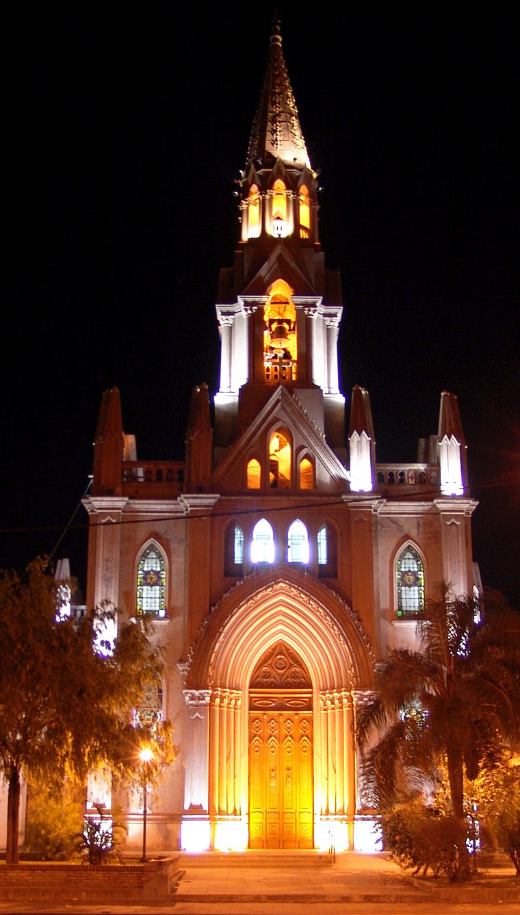
Photo: Alegsa, CC BY-SA 3.0.
Basílica Nuestra Señora de Guadalupe is a church, which is situated 3½ km east of Sede Vecinal Progreso Pompeya Oeste.
Places in the Area
Nearby places include Santa Fe and Santo Tomé.
Santa Fe

Photo: Phapyss, CC BY-SA 4.0.
Santa Fe is the capital city of the eponymous province in Argentina. Its riverside bars and nightclubs, chic restaurants, the beauty of the landscape, and the various attractions that tourists enjoy make this a popular region in which to spend holidays.
Santo Tomé
Town

Photo: Luciano139, CC BY-SA 3.0.
Santo Tomé is a city in the province of Santa Fe, Argentina. It is located only 9 km from the capital city. It has a population of about 65,684 inhabitants and estimated at 80,000 inhabitants based on population growth rate provided by the INDEC, and is classified as a second-category municipality. Santo Tomé is situated 9 km southwest of Sede Vecinal Progreso Pompeya Oeste.
Sede Vecinal Progreso Pompeya Oeste
- Type: Community center
- Location: Capital Department, Santa Fe, Pampas, Argentina, South America
- View on OpenStreetMap
Latitude
-31.59325° or 31° 35′ 36″ southLongitude
-60.70751° or 60° 42′ 27″ westOpen location code
47WXC74R+MXOpenStreetMap ID
node 3552773043OpenStreetMap feature
amenity=social_centre
This page is based on OpenStreetMap, Wikidata, and Wikimedia Commons.
We’d love your help improving our open data sources. Thank you for contributing.
Satellite Map
Discover Sede Vecinal Progreso Pompeya Oeste from above in high-definition satellite imagery.
Notable Places Nearby
Highlights include Sub Comisaría 3° and Parroquia Nuestra Señora del Rosario de Nueva Pompeya.
Nearby Places
Explore places such as Escuela De Educación Secundaria Orientada 528 and Veterinaria Norvet.
Curious Community Centers to Discover
Uncover intriguing community centers from every corner of the globe.
About Mapcarta. Data © OpenStreetMap contributors and available under the Open Database License". Text is available under the CC BY-SA 4.0 license, except for photos, directions, and the map. Photo: Wikimedia, CC0.