Los Amigos Supermarket
Los Amigos Supermarket is a supermarket in Miami-Dade County, Greater Miami, Florida. Los Amigos Supermarket is situated nearby to Champagnat Catholic School, as well as near Jose Marti Post Office.| Tap on a place to explore it |
Places of Interest Nearby
Highlights include Champagnat Catholic School and Bay of Pigs Museum.
Champagnat Catholic School
School
Champagnat Catholic School is a private Catholic school with a campus in Hialeah, Florida, United States. Established in 1968, the school used to serve students in sixth through twelfth grades. Champagnat Catholic School is situated 1,500 feet east of Los Amigos Supermarket.
Bay of Pigs Museum
Museum

Photo: freddthompson, CC BY-SA 2.0.
The Bay of Pigs Museum, also known as the Brigade 2506 Museum and Library, is the official museum in memory of the Bay of Pigs Invasion's Brigade 2506 in Little Havana, Miami, Florida. Bay of Pigs Museum is situated 1½ miles southeast of Los Amigos Supermarket.
Tower Theater
Movie theater

Photo: Wikimedia, CC BY-SA 3.0.
MDC's Tower Theater is one of Miami's oldest cultural landmarks. When it opened in December 1926, it was the finest state-of-the-art theater in the South. It is located on SW Eighth Street and Fifteenth Avenue in Miami, Florida. Tower Theater is situated 1½ miles southeast of Los Amigos Supermarket.
Places in the Area
Nearby places include Little Havana and Overtown.
Little Havana
 Little Havana is located just west of Downtown Miami. Also known as the Latin Quarter, it received its name by being a Cuban neighborhood from the 1970s until the 1990s, but now consists of many Central and South Americans.
Overtown
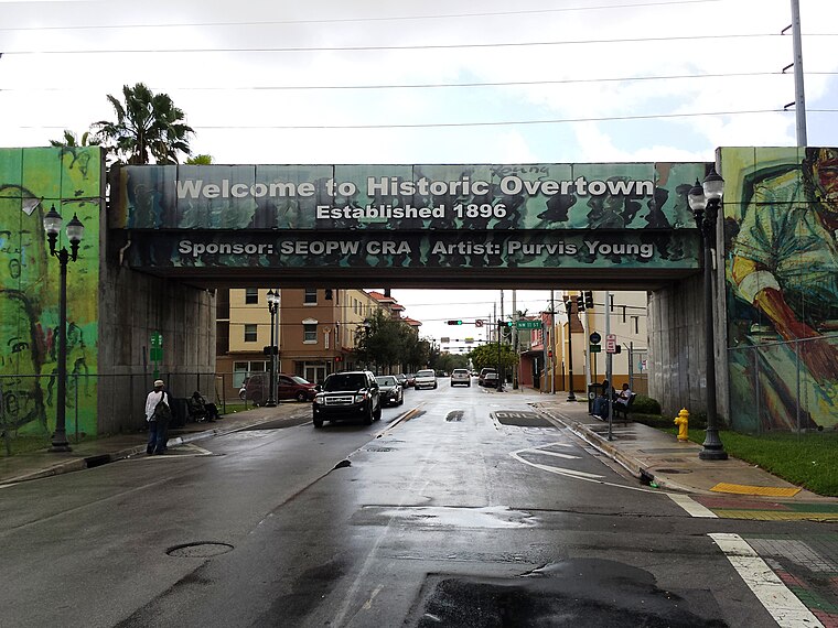
Photo: Pietro, CC BY-SA 3.0.
Overtown is a historically African-American neighborhood located just north of downtown Miami and is considered part of Miami's Central District. It is also Miami’s poorest neighborhood.
Brownsville
Hamlet
Brownsville is an unincorporated community and census-designated place that is part of the Miami metropolitan area of South Florida. As of the 2020 US census, the population was 16,583, up from 15,313 in 2010. Brownsville is situated 3 miles north of Los Amigos Supermarket.
Los Amigos Supermarket
- Type: Supermarket
- Categories: shop and food
- Location: Miami-Dade County, Greater Miami, Florida, United States, North America
- View on OpenStreetMap
Latitude
25.77913° or 25° 46′ 45″ northLongitude
-80.24307° or 80° 14′ 35″ westOpen location code
76QXQQH4+MQOpenStreetMap ID
node 3575884417OpenStreetMap feature
shop=supermarket
This page is based on OpenStreetMap, Wikidata, and Wikimedia Commons.
We’d love your help improving our open data sources. Thank you for contributing.
Satellite Map
Discover Los Amigos Supermarket from above in high-definition satellite imagery.
Notable Places Nearby
Highlights include Jose Marti Post Office and Saint Michael the Archangel Church.
Nearby Places
Explore places such as VaCuba and Northwest 7th Street & Northwest 30th Avenue.
Miami-Dade County: Must-Visit Destinations
Delve into Miami, Miami Beach, Hialeah, and South Beach.
Curious Supermarkets to Discover
Uncover intriguing supermarkets from every corner of the globe.
About Mapcarta. Data © OpenStreetMap contributors and available under the Open Database License". Text is available under the CC BY-SA 4.0 license, except for photos, directions, and the map. Photo: Dori, CC BY-SA 3.0.