Mesa View Elementary School
Mesa View Elementary School is a school in Cibola, New Mexico and has an elevation of 6,427 feet. Mesa View Elementary School is situated nearby to the church Grants Mission, as well as near Mother Whiteside Memorial Library.| Tap on a place to explore it |
Places of Interest Nearby
Highlights include Northwest New Mexico Correctional Facility.
Northwest New Mexico Correctional Facility
Prison
The Northwest New Mexico Correctional Facility, formerly the New Mexico Women's Correctional Facility, is a privately owned prison for men, located in Grants, Cibola County, New Mexico. Northwest New Mexico Correctional Facility is situated 2 miles east of Mesa View Elementary School.
Places in the Area
Nearby places include Grants and Milan.
Grants
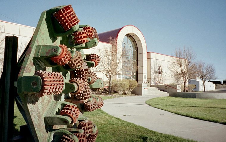
Photo: ANNAfoxlover, Public domain.
Grants is a small town in western New Mexico, United States. It is one of the stops along the historic Route 66 highway west of Albuquerque, New Mexico's largest city.
Milan
Town
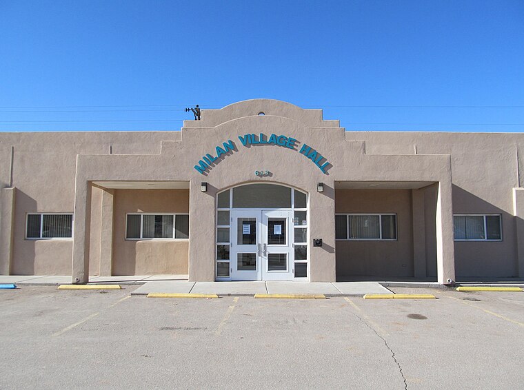 Milan is a village in Cibola County, New Mexico, United States. The population was 2,456 at the 2020 census. A suburb of Grants, Milan's population grew by over 1,300 between 2000 and 2010, a rate of 71.6%. Milan is situated 2½ miles northwest of Mesa View Elementary School.
Mesa View Elementary School
- Type: School
- Category: education
- Location: Cibola, New Mexico, Southwest, United States, North America
- View on OpenStreetMap
Latitude
35.14797° or 35° 8′ 53″ northLongitude
-107.8503° or 107° 51′ 1″ westElevation
6,427 feet (1,959 metres)Open location code
857J44XX+5VOpenStreetMap ID
node 357610804OpenStreetMap feature
amenity=school
This page is based on OpenStreetMap, Wikidata, and Wikimedia Commons.
We’d love your help improving our open data sources. Thank you for contributing.
Satellite Map
Discover Mesa View Elementary School from above in high-definition satellite imagery.
Places with the Same Name
Discover other places named “Mesa View Elementary School”.
Notable Places Nearby
Highlights include Grants Mission and Mother Whiteside Memorial Library.
Nearby Places
Explore places such as Pizza Hut and AutoZone.
New Mexico: Must-Visit Destinations
Delve into Albuquerque, Santa Fe, Las Cruces, and Roswell.
Curious Places to Discover
Uncover intriguing places from every corner of the globe.
About Mapcarta. Data © OpenStreetMap contributors and available under the Open Database License". Text is available under the CC BY-SA 4.0 license, except for photos, directions, and the map. Photo: Dschwen, CC BY-SA 3.0.