Carysfort Clinic
Carysfort Clinic is a doctor’s office in Dún Laoghaire–Rathdown, Leinster which is located on Carysfort Avenue. Carysfort Clinic is situated nearby to the church All Saints, as well as near the health club Shape Up Ladies Only.| Tap on a place to explore it |
- Opening hours:
Monday—Thursday: 8:30 AM—7:00 PM
Friday: 8:30 AM—4:30 PM
Saturday: 10:00 AM—noon - Email: carysfortclinic@eircom.net
- Type: Doctor’s office
- Address: 11 Carysfort Avenue, Blackrock
Places of Interest Nearby
Highlights include Blackrock and Friends Burial Ground.
Blackrock
Railway station

Photo: Sarah777, Public domain.
Blackrock railway station serves Blackrock in Dún Laoghaire–Rathdown, Ireland. It opened to the public on 17 December 1834 and is one of the three original stations on the Dublin and Kingstown Railway, the oldest public passenger railway in Ireland. Blackrock is situated 1¼ km north of Carysfort Clinic.
Friends Burial Ground
Cemetery
 The Friends Burial Ground, also called Temple Hill Burial Ground or the Friends Sleeping Place is a Quaker burial ground located at Temple Hill, Blackrock, Dublin. Friends Burial Ground is situated 610 metres northeast of Carysfort Clinic.
Blackrock Further Education Institute
College
Blackrock Further Education Institute is a college of further education in Dublin which was established in 1982. In 2014 it moved to the refurbished Blackrock Town Hall, Library and Technical Institute complex. Blackrock Further Education Institute is situated 1 km north of Carysfort Clinic.
Places in the Area
Nearby places include Blackrock and Stillorgan.
Blackrock
Town
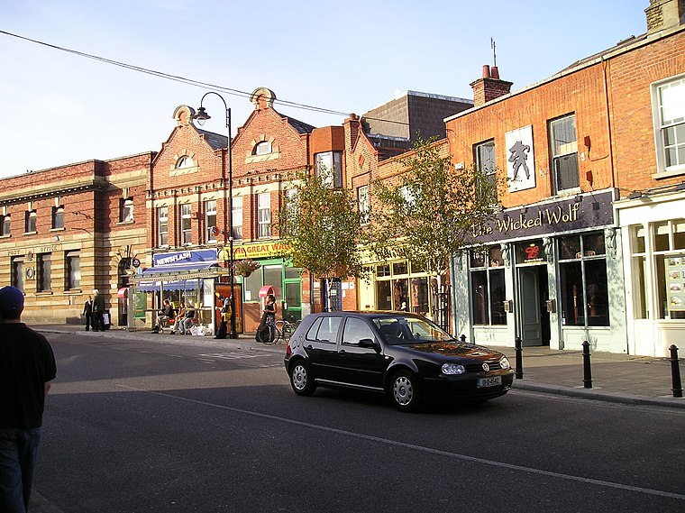
Photo: Wikimedia, Public domain.
Blackrock is an affluent suburb of Dublin, Ireland, 3 km northwest of Dún Laoghaire. It is named after the local geological rock formation to be found in the area of Blackrock Park.
Stillorgan
Suburb

Photo: Sarah777, Public domain.
Stillorgan, formerly a village in its own right, is now a suburban area of Dublin in Ireland. Stillorgan is located in Dún Laoghaire–Rathdown, and contains many housing estates, shops and other facilities, with the old village centre still present.
Deansgrange
Suburb

Photo: Dmountain, CC BY-SA 3.0.
Deansgrange is a southern suburb of Dublin, centred on the crossroads of Clonkeen Road and Kill Lane. The area shares the name Clonkeen with the area further east, known as Kill of the Grange.
Carysfort Clinic
- Category: health care
- Location: Dún Laoghaire–Rathdown, Leinster, Ireland, Britain and Ireland, Europe
- View on OpenStreetMap
Latitude
53.29265° or 53° 17′ 34″ northLongitude
-6.17962° or 6° 10′ 47″ westOperator
Carysfort ClinicOpen location code
9C5M7RVC+35OpenStreetMap ID
node 3584114213OpenStreetMap feature
amenity=doctorsOpenStreetMap feature
healthcare=doctor
This page is based on OpenStreetMap, Wikidata, and Wikimedia Commons.
We’d love your help improving our open data sources. Thank you for contributing.
Satellite Map
Discover Carysfort Clinic from above in high-definition satellite imagery.
Notable Places Nearby
Highlights include All Saints and Shape Up Ladies Only.
Nearby Places
Explore places such as Carysfort Avenue and Proby Square.
Ireland: Must-Visit Destinations
Delve into Dublin, Cork, Limerick, and Galway.
Curious Doctor’s Offices to Discover
Uncover intriguing doctor’s offices from every corner of the globe.
About Mapcarta. Data © OpenStreetMap contributors and available under the Open Database License". Text is available under the CC BY-SA 4.0 license, except for photos, directions, and the map. Photo: Wikimedia, CC BY-SA 3.0.