Autohof Bensheim
Autohof Bensheim is a shop in Bensheim, Bergstraße, Hesse which is located on Ampèrestraße. Autohof Bensheim is situated nearby to the public building DRK Rettungswache Bensheim, as well as near Karl Kübel School Bensheim.| Tap on a place to explore it |
- Email: thomas.schmitt1@tankstelle.de
- Type: Shop
- Address: Ampèrestraße 1, Bensheim, 64625
- Wheelchair access: yes
Places of Interest Nearby
Highlights include Karl Kübel School Bensheim and St. Laurentius.
Karl Kübel School Bensheim
School

Photo: Oxcguard, CC BY-SA 4.0.
Karl Kübel School Bensheim is situated 560 metres east of Autohof Bensheim.
St. Laurentius
Church

Photo: Muck50, CC BY-SA 4.0.
St. Laurentius is a church, which is situated 1¼ km northeast of Autohof Bensheim.
Bensheim station
Railway station
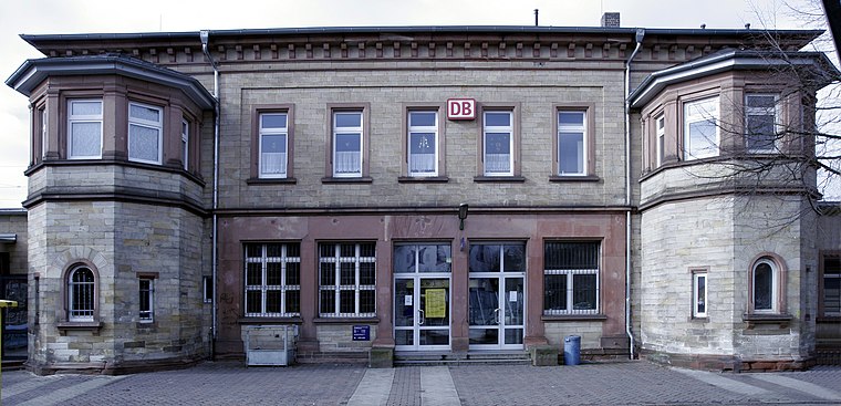
Photo: Wikimedia, CC BY-SA 3.0.
Bensheim station is in the town of Bensheim on the Main-Neckar Railway, connecting Frankfurt and Heidelberg, in the German state of Hesse. The station is also the beginning and end of the single-track non-electrified Worms–Bensheim line. Bensheim station is situated 1½ km northeast of Autohof Bensheim.
Places in the Area
Nearby places include Lorsch and Schwanheim.
Lorsch

Photo: Kuebi, CC BY-SA 3.0.
Lorsch is a town in the Bergstraße district in Hessen, Germany, 60 km south of Frankfurt. Lorsch is well known for the Lorsch Abbey, which has been named a World Heritage Site by UNESCO.
Schwanheim
Village

Photo: Kuebi, CC BY-SA 3.0.
Schwanheim is a village, which is situated 3½ km northwest of Autohof Bensheim.
Einhausen
Village

Photo: Kuebi, CC BY-SA 3.0.
Einhausen is a municipality in the Bergstraße district in Hesse, Germany, some 15 km east of Worms. Einhausen is situated 3½ km west of Autohof Bensheim.
Autohof Bensheim
- Location: Bensheim, Bergstraße, South Hesse, Hesse, Germany, Central Europe, Europe
- View on OpenStreetMap
Latitude
49.67293° or 49° 40′ 23″ northLongitude
8.59668° or 8° 35′ 48″ eastOperator
Herr SchmittOpen location code
8FXCMHFW+5MOpenStreetMap ID
node 3586212278OpenStreetMap feature
highway=servicesOpenStreetMap feature
shop=yesOpenStreetMap attribute
wheelchair=yes
This page is based on OpenStreetMap, Wikidata, and Wikimedia Commons.
We’d love your help improving our open data sources. Thank you for contributing.
Satellite Map
Discover Autohof Bensheim from above in high-definition satellite imagery.
Notable Places Nearby
Highlights include DRK Rettungswache Bensheim and Sporthalle Karl Kübel Schule.
Nearby Places
Explore places such as Aral Waschstraße and KFC.
South Hesse: Must-Visit Destinations
Delve into Darmstadt, Lorsch, Heppenheim, and Dreieich.
Curious Shops to Discover
Uncover intriguing shops from every corner of the globe.
About Mapcarta. Data © OpenStreetMap contributors and available under the Open Database License". Text is available under the CC BY-SA 4.0 license, except for photos, directions, and the map. Photo: Kesslerbensheim, CC BY-SA 4.0.