Sam Mazza’s Farm Market
Sam Mazza’s Farm Market is a farm shop in Colchester, Chittenden County, Vermont. Sam Mazza’s Farm Market is situated nearby to the police station Colchester Police Department, as well as near the nature reserve Macrae Farm Park.| Tap on a place to explore it |
Places of Interest Nearby
Highlights include Colchester High School.
Colchester High School
School
Colchester High School is a public senior high school in Colchester, Vermont, and is part of the Colchester School District in Chittenden County, Vermont. Colchester High School is situated 1 mile northwest of Sam Mazza’s Farm Market.
Places in the Area
Nearby places include Winooski and Burlington.
Winooski

Photo: Hortont424, CC BY-SA 2.5.
Winooski is a city of 7,997 in Northwest Vermont across the Winooski River from Burlington. It is both the most densely populated and smallest city by area in the state.
Burlington

Photo: Michelle Maria, CC BY 3.0.
Burlington is the largest city in the American state of Vermont. Situated on Lake Champlain, it is the heart of a small urban area that acts as Vermont's vibrant and cosmopolitan center.
South Burlington
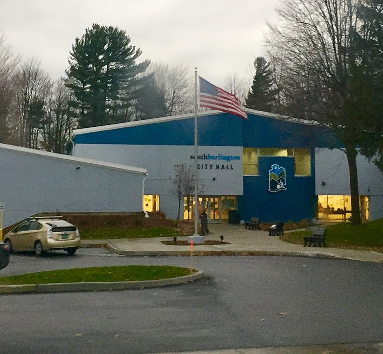
Photo: Superbug2399, CC BY-SA 3.0.
South Burlington is a city in Northwest Vermont. It is a suburb of Burlington and is the second largest city in the state. Unlike most sizable Vermont communities, it doesn't have a downtown of any sort since most of the city's development has occurred in the last few decades.
Sam Mazza’s Farm Market
- Type: Farm shop
- Categories: shop and food
- Location: Colchester, Chittenden County, Northwest Vermont, Vermont, New England, United States, North America
- View on OpenStreetMap
Latitude
44.52778° or 44° 31′ 40″ northLongitude
-73.20142° or 73° 12′ 5″ westOpen location code
87P8GQHX+4COpenStreetMap ID
node 3610738225OpenStreetMap feature
shop=farm
This page is based on OpenStreetMap, Wikidata, and Wikimedia Commons.
We’d love your help improving our open data sources. Thank you for contributing.
Satellite Map
Discover Sam Mazza’s Farm Market from above in high-definition satellite imagery.
Notable Places Nearby
Highlights include Colchester Police Department and Colchester Town Hall.
Nearby Places
Explore places such as Blakey School and UVM Medical Center Family Medicine.
Chittenden County: Must-Visit Destinations
Delve into South Burlington, Winooski, Essex, and Milton.
Curious Farm Shops to Discover
Uncover intriguing farm shops from every corner of the globe.
About Mapcarta. Data © OpenStreetMap contributors and available under the Open Database License". Text is available under the CC BY-SA 4.0 license, except for photos, directions, and the map. Photo: Wikimedia, CC0.