Birkenriegel
Birkenriegel is a peak in Unterkohlstätten, Oberwart District, Burgenland and has an elevation of 675 metres. Birkenriegel is situated nearby to the village Oberkohlstätten, as well as near Glashütten bei Schlaining.| Tap on a place to explore it |
Places of Interest
Highlights include Pfarrkirche Oberkohlstätten and Großer Hirschenstein.
Pfarrkirche Oberkohlstätten
Church

Photo: Ueb-at, CC BY-SA 3.0.
Pfarrkirche Oberkohlstätten is a church.
Großer Hirschenstein
Scenic viewpoint

Photo: Pan Peter12, CC BY-SA 4.0.
Großer Hirschenstein is a scenic viewpoint.
Kath. Filialkirche Mariae Heimsuchung
Church

Photo: Ueb-at, CC BY-SA 3.0.
Kath. Filialkirche Mariae Heimsuchung is a church.
Places in the Area
Nearby places include Glashütten bei Schlaining and Holzschlag.
Glashütten bei Schlaining
Village
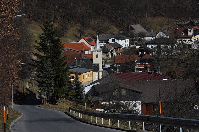
Photo: Nxr-at, CC BY-SA 4.0.
Glashütten bei Schlaining is an Austrian dependent hamlet in the federal state of Burgenland. Situated in the municipality of Unterkohlstätten within Oberwart district, the official Hungarian placename until 1899 was Szalonok-Üveghuta.


Birkenriegel
- Type: Peak with an elevation of 675 metres
- Category: landform
- Location: Unterkohlstätten, Oberwart District, Burgenland, Austria, Central Europe, Europe
- View on OpenStreetMap
Latitude
47.3656° or 47° 21′ 56″ northLongitude
16.3418° or 16° 20′ 31″ eastElevation
675 metres (2,215 feet)Open location code
8FVR988R+6POpenStreetMap ID
node 3614508524OpenStreetMap feature
natural=peak
This page is based on OpenStreetMap, Wikidata, and Wikimedia Commons.
We’d love your help improving our open data sources. Thank you for contributing.
Satellite Map
Discover Birkenriegel from above in high-definition satellite imagery.
Localities in the Area
Explore places such as Unterkohlstätten and Weißenbachl.
Notable Places Nearby
Highlights include Kohlenmeiler and Feuerwehrhaus.
Burgenland: Must-Visit Destinations
Delve into Eisenstadt, Neusiedl am See, Rust, and Güssing.
Curious Peaks to Discover
Uncover intriguing peaks from every corner of the globe.
About Mapcarta. Data © OpenStreetMap contributors and available under the Open Database License". Text is available under the CC BY-SA 4.0 license, except for photos, directions, and the map. Photo: Wikimedia, CC BY-SA 4.0.