Fat Freddy’s Diner
Fat Freddy’s Diner is a fast food restaurant in Tillamook, Oregon. Fat Freddy’s Diner is situated nearby to Pacific City Post Office, as well as near Nestucca Valley Presbyterian Church.| Tap on a place to explore it |
Places of Interest Nearby
Highlights include Pacific City State Airport and Bob Straub State Park.
Pacific City State Airport
Aerodrome
Pacific City State Airport is a public use airport located one nautical mile south of the central business district of Pacific City, in Tillamook County, Oregon, United States. It is owned by the Oregon Department of Aviation.
Bob Straub State Park
Nature reserve

Photo: Trashbag, CC BY-SA 3.0.
Bob Straub State Park is a 484-acre state park in Pacific City, Tillamook County, Oregon, United States. It is named for former Oregon Governor Robert W. Bob Straub State Park is situated 1½ miles south of Fat Freddy’s Diner.
Places in the Area
Nearby places include Pacific City and Woods.
Pacific City
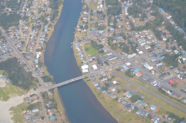
Photo: Meronim, CC BY-SA 3.0.
Pacific City is a census-designated place and unincorporated community in Tillamook County, Oregon, United States. The population was 1,109 at the 2020 census. Pacific City is home to the Cape Kiwanda State Natural Area.
Woods
Hamlet
Woods is an unincorporated community in Tillamook County, Oregon, United States. Woods lies at the intersection of Brooten Road, Resort Drive, and Old Woods Road, along the Nestucca River just north of Pacific City and west of U.S. Route 101.
Oretown
Hamlet
Oretown is an unincorporated community in Tillamook County, Oregon, United States. It is along U.S. Route 101 about 4 miles north of Neskowin and south of Nestucca Bay. Oretown is situated 3½ miles south of Fat Freddy’s Diner.
Fat Freddy’s Diner
- Type: Fast food restaurant
- Categories: food and restaurant
- Location: Tillamook, Oregon, Pacific Northwest, United States, North America
- View on OpenStreetMap
Latitude
45.20217° or 45° 12′ 8″ northLongitude
-123.96308° or 123° 57′ 47″ westOpen location code
84QR622P+VQOpenStreetMap ID
node 3623845914OpenStreetMap feature
amenity=fast_food
This page is based on OpenStreetMap, Wikidata, and Wikimedia Commons.
We’d love your help improving our open data sources. Thank you for contributing.
Satellite Map
Discover Fat Freddy’s Diner from above in high-definition satellite imagery.
Notable Places Nearby
Highlights include Pacific City Post Office and Nestucca Valley Presbyterian Church.
Nearby Places
Explore places such as Beach Walk and Pacific City.
Oregon: Must-Visit Destinations
Delve into Portland, Salem, Eugene, and Astoria.
Curious Fast Food Restaurants to Discover
Uncover intriguing fast food restaurants from every corner of the globe.
About Mapcarta. Data © OpenStreetMap contributors and available under the Open Database License". Text is available under the CC BY-SA 4.0 license, except for photos, directions, and the map. Photo: Wikimedia, CC BY-SA 3.0.