Șaua La Bordei
Șaua La Bordei is a mountain saddle in Comuna Cerna, Tulcea County and has an elevation of 256 metres. Șaua La Bordei is situated nearby to the locality La Martina, as well as near Depresiunea Cernei.| Tap on a place to explore it |
Places in the Area
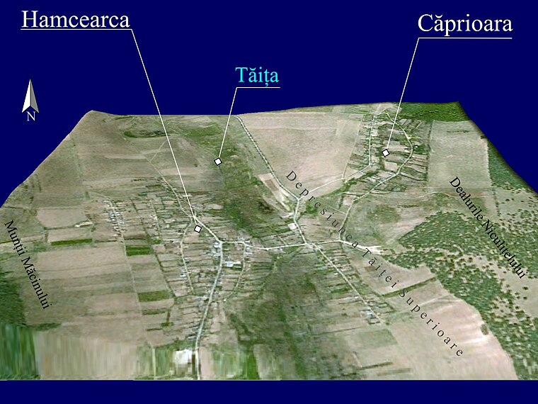
Nearby places include Hamcearca and Balabancea.

Șaua La Bordei
- Type: Mountain saddle with an elevation of 256 metres
- Category: landform
- Location: Comuna Cerna, Tulcea County, Romania, Balkans, Europe
- View on OpenStreetMap
Latitude
45.0864° or 45° 5′ 11″ northLongitude
28.3602° or 28° 21′ 37″ eastElevation
256 metres (840 feet)Open location code
8GQC39P6+H3OpenStreetMap ID
node 3624335460OpenStreetMap feature
natural=saddle
This page is based on OpenStreetMap, Wikidata, and Wikimedia Commons.
We’d love your help improving our open data sources. Thank you for contributing.
Satellite Map
Discover Șaua La Bordei from above in high-definition satellite imagery.
Localities in the Area
Explore places such as La Martina and Depresiunea Cernei.
Notable Places Nearby
Highlights include Pădurea Chişteu and Siliștea.
Romania: Must-Visit Destinations
Delve into Bucharest, Cluj-Napoca, Timișoara, and Iași.
Curious Mountain Saddles to Discover
Uncover intriguing mountain saddles from every corner of the globe.
About Mapcarta. Data © OpenStreetMap contributors and available under the Open Database License". Text is available under the CC BY-SA 4.0 license, except for photos, directions, and the map. Photo: El bes, CC BY 3.0.