Baume de Longeaigue
Baume de Longeaigue is a cave in Val-de-Travers, Canton of Neuchâtel. Baume de Longeaigue is situated nearby to the cave Baume de la Longeaigue, entree superior, as well as near the peak Roches Blanches.| Tap on a place to explore it |
Places of Interest Nearby
Highlights include Le Chasseron and Buttes railway station.
Le Chasseron
Peak

Photo: Spigaf, CC BY-SA 3.0.
Le Chasseron is a mountain in the Jura Mountains, overlooking Sainte-Croix in the canton of Vaud. It has an elevation of 1,607 metres above sea level and is amongst the most isolated mountains of Switzerland. Le Chasseron is situated 2½ km southeast of Baume de Longeaigue.
Buttes railway station
Railway station

Photo: NAC, CC BY-SA 3.0.
Buttes railway station is a railway station in the municipality of Val-de-Travers, in the Swiss canton of Neuchâtel. It is the western terminus of the standard gauge Travers–Buttes line of Transports publics Neuchâtelois. Buttes railway station is situated 3 km northeast of Baume de Longeaigue.
Petites Roches
Peak

Photo: Pmau, CC BY-SA 4.0.
Petites Roches is a peak, which is situated 3½ km south of Baume de Longeaigue.
Places in the Area
Nearby places include La Côte-aux-Fées and Buttes.
La Côte-aux-Fées
Village
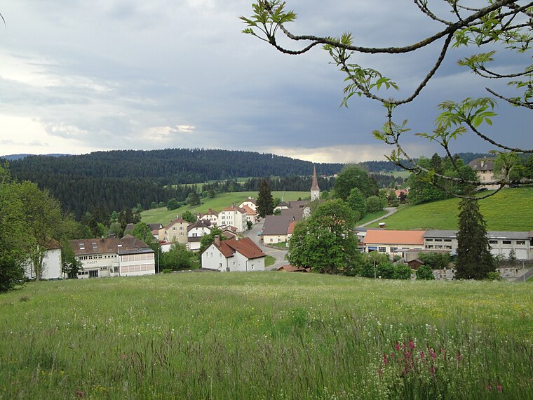
Photo: Wikimedia, CC BY-SA 3.0.
La Côte-aux-Fées is a municipality in the canton of Neuchâtel in Switzerland.
Buttes
Village

Photo: Touriste, Public domain.
Buttes was a municipality in the district of Val-de-Travers in the canton of Neuchâtel in Switzerland. On 1 January 2009, the former municipalities of Boveresse, Buttes, Couvet, Fleurier, Les Bayards, Môtiers, Noiraigue, Saint-Sulpice and Travers merged to form Val-de-Travers. Buttes is situated 3 km northeast of Baume de Longeaigue.
Les Verrières
Village

Photo: Wikimedia, CC BY-SA 3.0.
Les Verrières is a municipality in the canton of Neuchâtel in Switzerland. Les Verrières is situated 4½ km northwest of Baume de Longeaigue.
Baume de Longeaigue
- Type: Cave
- Category: landform
- Location: Val-de-Travers, Val-de-Travers District, Canton of Neuchâtel, Switzerland, Central Europe, Europe
- View on OpenStreetMap
Latitude
46.87181° or 46° 52′ 19″ northLongitude
6.51914° or 6° 31′ 9″ eastOpen location code
8FR8VGC9+PMOpenStreetMap ID
node 3629361257OpenStreetMap feature
natural=cave_entrance
This page is based on OpenStreetMap, Wikidata, and Wikimedia Commons.
We’d love your help improving our open data sources. Thank you for contributing.
Satellite Map
Discover Baume de Longeaigue from above in high-definition satellite imagery.
Notable Places Nearby
Highlights include Baume de la Longeaigue, entree superior and Grotte aux Fées.
Nearby Places
Explore places such as 25.V.» and vT»V+.HJC27CN.
Switzerland: Must-Visit Destinations
Delve into Zurich, Berne, Geneva, and Basel.
Curious Caves to Discover
Uncover intriguing caves from every corner of the globe.
About Mapcarta. Data © OpenStreetMap contributors and available under the Open Database License". Text is available under the CC BY-SA 4.0 license, except for photos, directions, and the map. Photo: Spigaf, CC BY-SA 3.0.