Stang Nabec
Stang Nabec is a bay in Clohars-Carnoët, Arrondissement of Quimper, Brittany.| Tap on a place to explore it |
Places of Interest
Highlights include Menhir de Mescleo and Chapelle Saint-Jacques de Clohars-Carnoët.
Menhir de Mescleo
Archaeological site
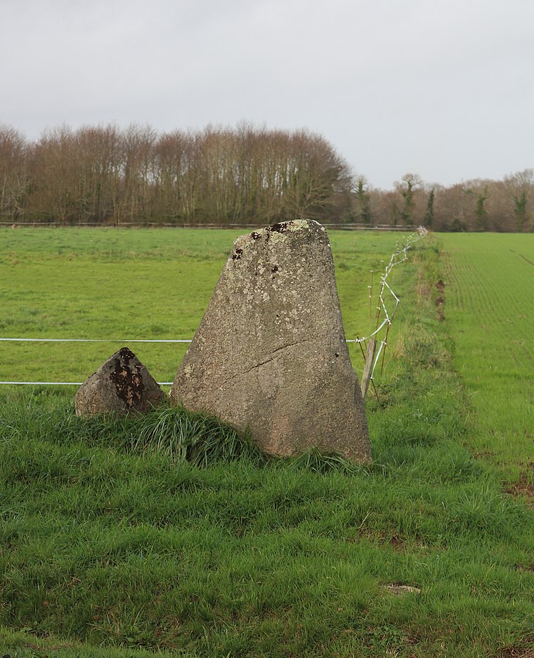
Photo: Wikimedia, CC BY-SA 4.0.
Menhir de Mescleo is an archaeological site.
Chapelle Saint-Jacques de Clohars-Carnoët
Church

Photo: Moreau.henri, CC BY-SA 4.0.
Chapelle Saint-Jacques de Clohars-Carnoët is a church.
Chapelle Sainte-Anne de Doëlan
Church

Photo: Moreau.henri, CC BY-SA 4.0.
Chapelle Sainte-Anne de Doëlan is a church.
Places in the Area
Nearby places include Moëlan-sur-Mer and Guidel.
Moëlan-sur-Mer
Village

Photo: Julien1978, CC BY-SA 3.0.
Moëlan-sur-Mer is a commune in the Finistère department and administrative region of Brittany in north-western France.
Guidel
Town

Photo: Manou56, CC BY-SA 3.0.
Guidel is a commune in the Morbihan department of Brittany in north-western France. Inhabitants of Guidel are called in French Guidélois.
Stang Nabec
- Type: Bay
- Category: body of water
- Location: Clohars-Carnoët, Arrondissement of Quimper, Finistère, Brittany, France, Europe
- View on OpenStreetMap
Latitude
47.7697° or 47° 46′ 11″ northLongitude
-3.5965° or 3° 35′ 47″ westOpen location code
8CVRQC93+VCOpenStreetMap ID
node 3674112985OpenStreetMap feature
natural=bay
This page is based on OpenStreetMap, Wikidata, and Wikimedia Commons.
We’d love your help improving our open data sources. Thank you for contributing.
Satellite Map
Discover Stang Nabec from above in high-definition satellite imagery.
Places with the Same Name
Discover other places named “Stang Nabec”.
Localities in the Area
Explore places such as Kernabec and Kersouc.
Notable Places Nearby
Highlights include crique de port blanc and Plage de la Roche Percée.
Brittany: Must-Visit Destinations
Delve into Rennes, Brest, Finistère, and Morbihan.
Curious Bays to Discover
Uncover intriguing bays from every corner of the globe.
About Mapcarta. Data © OpenStreetMap contributors and available under the Open Database License". Text is available under the CC BY-SA 4.0 license, except for photos, directions, and the map. Photo: Spendeau, CC BY-SA 3.0.