Nickelsdorf Bahnhof
Nickelsdorf Bahnhof is a bus stop in Nickelsdorf, Neusiedl am See District, Burgenland. Nickelsdorf Bahnhof is situated nearby to the railway station Bahnhof Nickelsdorf, as well as near the arts center Kugel.| Tap on a place to explore it |
Places in the Area
Nearby places include Deutsch Jahrndorf and Zeiselhof.
Deutsch Jahrndorf
Village
Deutsch Jahrndorf is a municipality in the district of Neusiedl am See, in the Austrian state of Burgenland. It is within a few kilometres of the borders of both Hungary and Slovakia. Deutsch Jahrndorf is situated 8 km north of Nickelsdorf Bahnhof.
Zeiselhof
Hamlet
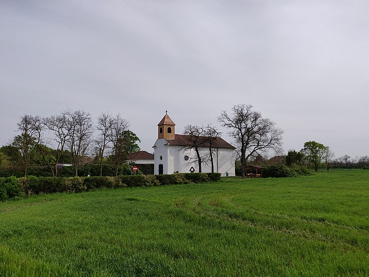
Photo: Rosso Robot, CC BY-SA 4.0.
Zeiselhof is a hamlet, which is situated 9 km north of Nickelsdorf Bahnhof.
Albertkázmérpuszta
Hamlet

Photo: Pasztilla, CC BY-SA 4.0.
Albertkázmérpuszta is a hamlet, which is situated 10 km southwest of Nickelsdorf Bahnhof.
Nickelsdorf Bahnhof
- Type: Bus stop
- Category: transportation
- Location: Nickelsdorf, Neusiedl am See District, Burgenland, Austria, Central Europe, Europe
- View on OpenStreetMap
Latitude
47.94238° or 47° 56′ 33″ northLongitude
17.08697° or 17° 5′ 13″ eastNetwork
Verkehrsverbund Ost-RegionOpen location code
8FVVW3RP+XQOpenStreetMap ID
node 368294160OpenStreetMap feature
highway=bus_stopOpenStreetMap feature
public_transport=platform
This page is based on OpenStreetMap, Wikidata, and Wikimedia Commons.
We’d love your help improving our open data sources. Thank you for contributing.
Satellite Map
Discover Nickelsdorf Bahnhof from above in high-definition satellite imagery.
Notable Places Nearby
Highlights include Bahnhof Nickelsdorf and Nickelsdorf.
Nearby Places
Explore places such as Nickelsdorf Bahnhof and Bahnhofsparkplatz.
Burgenland: Must-Visit Destinations
Delve into Eisenstadt, Neusiedl am See, Rust, and Güssing.
Curious Bus Stops to Discover
Uncover intriguing bus stops from every corner of the globe.
About Mapcarta. Data © OpenStreetMap contributors and available under the Open Database License". Text is available under the CC BY-SA 4.0 license, except for photos, directions, and the map. Photo: Wikimedia, CC BY-SA 4.0.