Rechsteiner Schuhe, Mode und Sport
Rechsteiner Schuhe, Mode und Sport is a sport shop in Vaduz, Liechtenstein. Rechsteiner Schuhe, Mode und Sport is situated nearby to the museum Hilti Art Foundation, as well as near Kunstmuseum Liechtenstein.| Tap on a place to explore it |
Places of Interest Nearby
Highlights include Kunstmuseum Liechtenstein and Postal Museum.
Kunstmuseum Liechtenstein
Museum
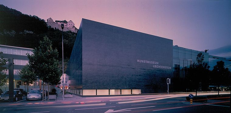
Photo: Wikimedia, CC BY-SA 3.0.
The Kunstmuseum Liechtenstein is a state art museum in Vaduz, Liechtenstein. The building by the Swiss architects Meinrad Morger, Heinrich Degelo and Christian Kerez was completed in November 2000.
Postal Museum
Museum

Photo: St9191, CC BY-SA 3.0.
The Postal Museum is a postal museum in Vaduz, Liechtenstein. It is a branch museum of Liechtenstein National Museum.
Liechtenstein National Museum
Museum
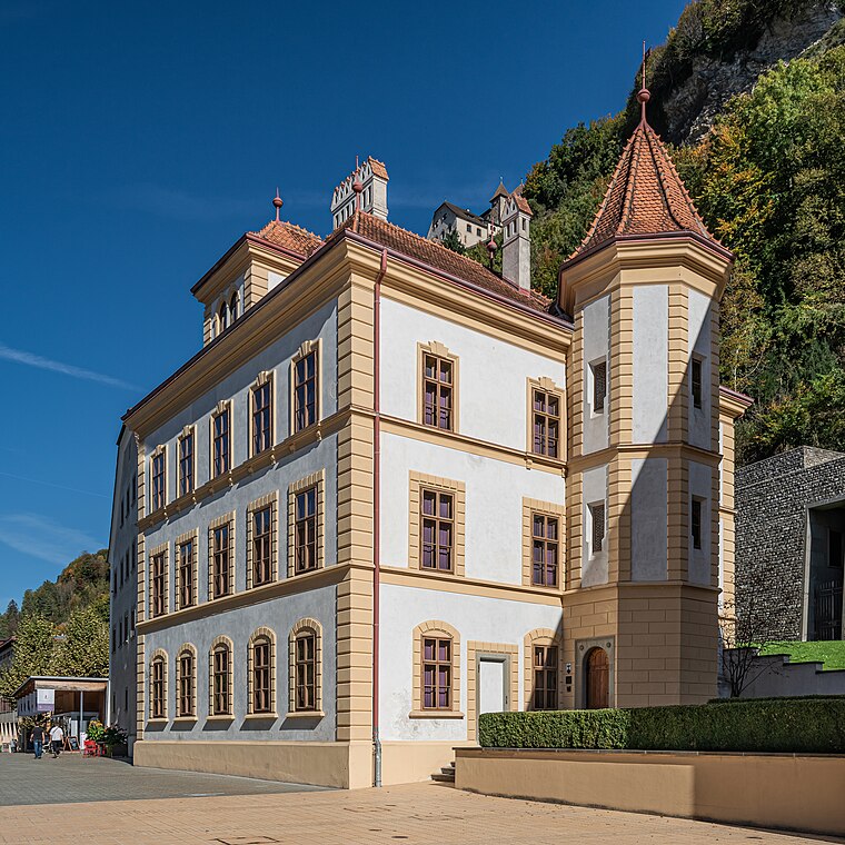 The Liechtenstein National Museum is a museum in Vaduz, the capital city of Liechtenstein. Liechtenstein National Museum is situated 140 metres south of Rechsteiner Schuhe, Mode und Sport.
Places in the Area
Nearby places include Ebenholz and Gaflei.
Ebenholz
Village
Ebenholz is a village of Liechtenstein, located in the municipality of Vaduz. Its name means "ebony" in German.
Gaflei
Hamlet
Gaflei is a village of Liechtenstein, located in Triesenberg, the highest and largest municipality in the Oberland constituency of the country. It stands at approximately 1500 m above sea level.
Masescha
Village
 Masescha is a Weiler of Liechtenstein, located in the municipality of Triesenberg. It is situated at approximately 1,230 metres above sea level on a glacial moraine plain.
Rechsteiner Schuhe, Mode und Sport
- Opening hours: Monday—Friday 8:30 AM—6:30 PM and Saturday 8:30 AM—4:00 PM
- Type: Sport shop
- Category: shop
- Location: Vaduz, Liechtenstein, Central Europe, Europe
- View on OpenStreetMap
Latitude
47.13945° or 47° 8′ 22″ northLongitude
9.52273° or 9° 31′ 22″ eastOpen location code
8FVF4GQF+Q3OpenStreetMap ID
node 3685644664OpenStreetMap feature
shop=sports
This page is based on OpenStreetMap, Wikidata, and Wikimedia Commons.
We’d love your help improving our open data sources. Thank you for contributing.
Satellite Map
Discover Rechsteiner Schuhe, Mode und Sport from above in high-definition satellite imagery.
Notable Places Nearby
Highlights include Hilti Art Foundation and Kunstraum Engländerbau.
Nearby Places
Explore places such as Adidas and You Fashion for Women & Men.
Curious Sport Shops to Discover
Uncover intriguing sport shops from every corner of the globe.
About Mapcarta. Data © OpenStreetMap contributors and available under the Open Database License". Text is available under the CC BY-SA 4.0 license, except for photos, directions, and the map. Photo: Wikimedia, CC BY-SA 2.5.