Hôtel Montségur
Hôtel Montségur is a hotel in Carcassonne, Aude, Occitanie which is located on Avenue Bunau Varilla. Hôtel Montségur is situated nearby to the military installation Caserne d’Iéna, as well as near the community center Maison des Jeunes et de la Culture.| Tap on a place to explore it |
Places of Interest Nearby
Highlights include Water supply basin and Carcassonne Cathedral.
Water supply basin
Historic building

Photo: GilPe, CC BY-SA 4.0.
Water supply basin is a historic building, which is situated 300 metres east of Hôtel Montségur.
Carcassonne Cathedral
Church

Photo: Archaeodontosaurus, CC BY-SA 4.0.
Carcassonne Cathedral is a cathedral and designated national monument in Carcassonne, France. It is the seat of the Roman Catholic Bishop of Carcassonne and Narbonne. Carcassonne Cathedral is situated 540 metres east of Hôtel Montségur.
Jardin du Calvaire
Garden

Photo: Tylwyth Eldar, CC BY-SA 4.0.
Jardin du Calvaire is a garden, which is situated 280 metres southeast of Hôtel Montségur.
Places in the Area
Nearby places include Cité de Carcassonne and Berriac.
Cité de Carcassonne
Neighborhood

Photo: Jondu11, CC BY-SA 4.0.
The Cité de Carcassonne is a medieval citadel located in the French city of Carcassonne, in the Aude department, Occitania region. It is situated on a hill on the right bank of the river Aude, in the south-eastern part of the city proper.
Berriac
Village
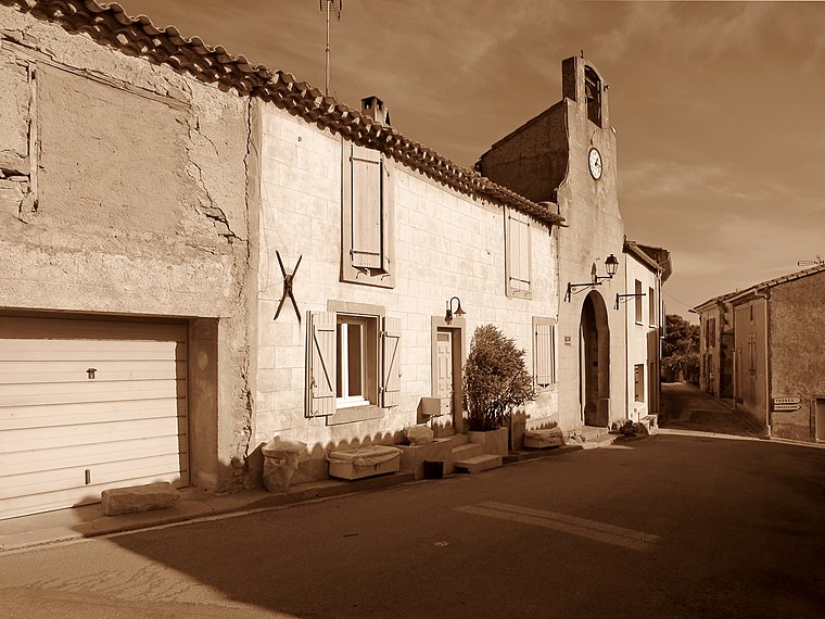
Photo: Olybrius, CC BY-SA 4.0.
Berriac is a commune in the Aude department in southern France. Berriac is situated 6 km east of Hôtel Montségur.
Conques-sur-Orbiel
Village

Photo: Meria z Geoian, CC BY-SA 3.0.
Conques-sur-Orbiel is a commune in the Aude department in southern France. Conques-sur-Orbiel is situated 8 km northeast of Hôtel Montségur.
Hôtel Montségur
- Type: Hotel
- Address: 1 Avenue Bunau Varilla
- Categories: tourism, accommodation, and building
- Location: Carcassonne, Arrondissement of Carcassonne, Aude, Occitanie, France, Europe
- View on OpenStreetMap
Latitude
43.21221° or 43° 12′ 44″ northLongitude
2.34466° or 2° 20′ 41″ eastOpen location code
8FM4686V+VVOpenStreetMap ID
node 3698764479OpenStreetMap feature
tourism=hotel
This page is based on OpenStreetMap, Wikidata, and Wikimedia Commons.
We’d love your help improving our open data sources. Thank you for contributing.
Satellite Map
Discover Hôtel Montségur from above in high-definition satellite imagery.
Notable Places Nearby
Highlights include Caserne d’Iéna and Église de Jésus-Christ des Saints des Derniers Jours.
Nearby Places
Explore places such as Bunau Varilla and Davilla.
Aude: Must-Visit Destinations
Delve into Narbonne, Limoux, Leucate, and Rennes-le-Château.
Curious Hotels to Discover
Uncover intriguing hotels from every corner of the globe.
About Mapcarta. Data © OpenStreetMap contributors and available under the Open Database License". Text is available under the CC BY-SA 4.0 license, except for photos, directions, and the map. Photo: Danapit, CC BY-SA 3.0.