Lindars Nord
Lindars Nord is an aerial lift in Magland, Arrondissement of Bonneville, Auvergne-Rhône-Alpes. Lindars Nord is situated nearby to the peak Tête des Lindars, as well as near the mountain saddle Col du Colonney.| Tap on a place to explore it |
Places of Interest Nearby
Highlights include Tête du Colonney and Les Grandes Platières.
Tête du Colonney
Peak

Photo: Yorisse, Public domain.
Tête du Colonney is a mountain in the Chablais Alps in Haute-Savoie, France. Standing above the Plateau d'Assy, the mountain provides unobscured views of Mont Blanc to the southeast from its summit.

Refuge de Platé
Mountain hut

Photo: Rémih, CC BY-SA 4.0.
Refuge de Platé is a refuge located on the "Tour des Fiz", in Haute Savoie, facing Mont Blanc in the Alps. Refuge de Platé is situated 1½ km southeast of Lindars Nord.
Places in the Area
Nearby places include Flaine and Oëx.
Flaine

Photo: KlausFoehl, CC BY-SA 3.0.
Flaine is in Le Grand Massif ski area in the Haute Savoie department, in the Rhône-Alpes of Southeastern France. It was designed by Bauhaus architect Marcel Breuer in the 1960s, has one of Europe's fastest gondolas and is known for being an eco-friendly car-free ski resort.
Oëx
Hamlet
Oëx is a village in the Rhône-Alpes region of France, below Pointe d'Areu in the Arve valley. It is part of the commune Magland in Haute-Savoie department. Oëx is situated 5 km west of Lindars Nord.
Passy
Town
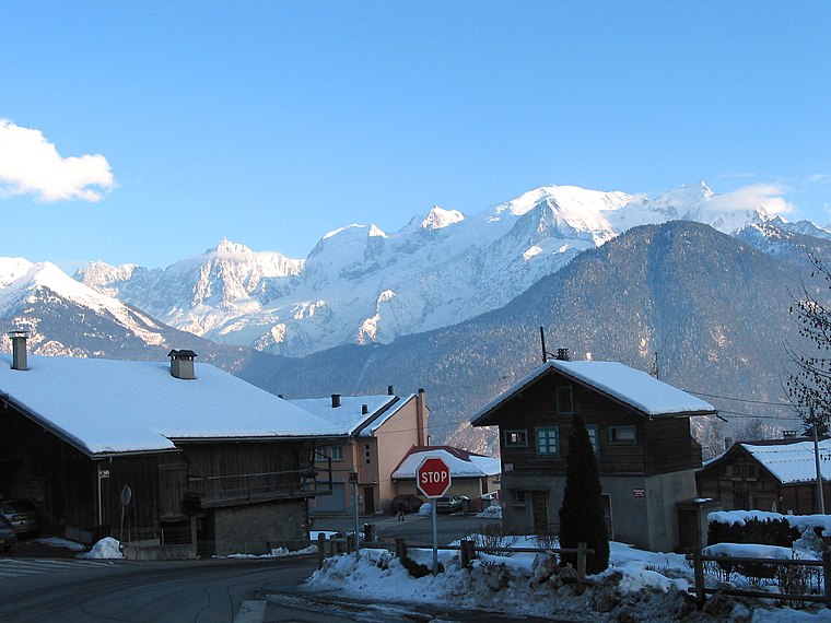
Photo: Jean-Pol GRANDMONT, CC BY 3.0.
Passy is a commune in the Haute-Savoie department in the Auvergne-Rhône-Alpes region in south-eastern France. It is part of the urban area of Sallanches. Passy is situated 6 km south of Lindars Nord.
Lindars Nord
- Type: Aerial lift
- Categories: station and transportation
- Location: Magland, Arrondissement of Bonneville, Haute-Savoie, Auvergne-Rhône-Alpes, France, Europe
- View on OpenStreetMap
Latitude
45.97667° or 45° 58′ 36″ northLongitude
6.70244° or 6° 42′ 9″ eastOpen location code
8FQ8XPG2+MXOpenStreetMap ID
node 370157242OpenStreetMap feature
aerialway=stationOpenStreetMap feature
public_transport=station
This page is based on OpenStreetMap, Wikidata, and Wikimedia Commons.
We’d love your help improving our open data sources. Thank you for contributing.
Satellite Map
Discover Lindars Nord from above in high-definition satellite imagery.
Notable Places Nearby
Highlights include Tête des Lindars and Col du Colonney.
Nearby Places
Explore places such as Les Lindars and Tour Verte.
Haute-Savoie: Must-Visit Destinations
Delve into Chamonix, Annecy, Annemasse, and Evian.
Curious Aerial Lifts to Discover
Uncover intriguing aerial lifts from every corner of the globe.
About Mapcarta. Data © OpenStreetMap contributors and available under the Open Database License". Text is available under the CC BY-SA 4.0 license, except for photos, directions, and the map. Photo: Ypsilon from Finland, CC0.