Stodieks Bogen 1
Stodieks Bogen 1 is an electrical substation in Löhne, Herford, North Rhine-Westphalia. Stodieks Bogen 1 is situated nearby to the pier Kanuanleger, as well as near the post office Post.| Tap on a place to explore it |
Places of Interest Nearby
Highlights include Löhne station and Matthäuskirche.
Löhne station
Railway station

Photo: Stefan Flöper, CC BY-SA 4.0.
Löhne station is in the city of Löhne in the northeast of the German state of North Rhine-Westphalia. It lies on the Hamm–Minden railway, which is part of the Cologne-Minden trunk line that was originally proposed by Friedrich Harkort as part of a line from Berlin to Cologne via Hanover. Löhne station is situated 580 metres northeast of Stodieks Bogen 1.
Matthäuskirche
Church

Photo: Hagar66, CC BY-SA 3.0.
Matthäuskirche is a church, which is situated 760 metres east of Stodieks Bogen 1.
St. Laurentius
Church

Photo: Tebdi, CC BY-SA 3.0.
St. Laurentius is a church, which is situated 1 km northeast of Stodieks Bogen 1.
Places in the Area
Nearby places include Kirchlengern and Werste.
Kirchlengern
Town

Photo: Smial, CC BY-SA 2.0 de.
Kirchlengern is a municipality in the district of Herford, in North Rhine-Westphalia, Germany. Kirchlengern is situated 4½ km west of Stodieks Bogen 1.
Werste
Suburb
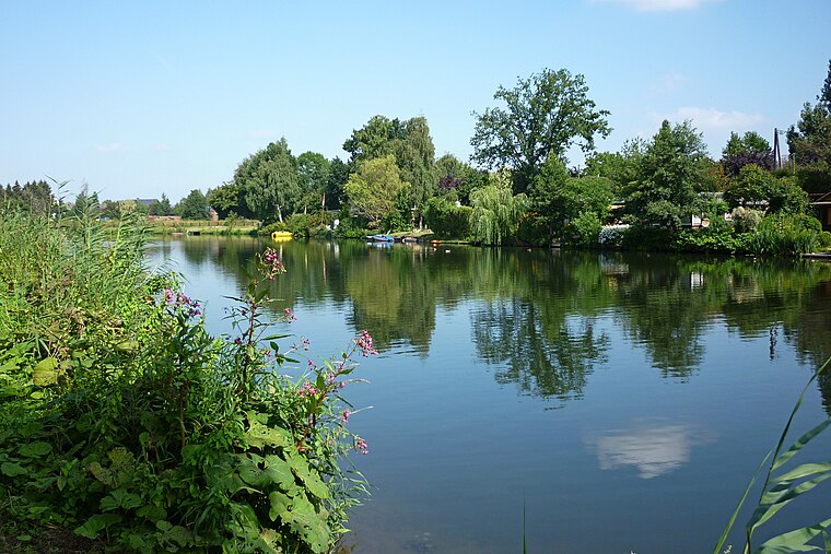
Photo: Ub12vow, CC BY-SA 3.0.
Werste is a suburb, which is situated 6 km northeast of Stodieks Bogen 1.
Bad Oeynhausen
Town
 Bad Oeynhausen is a spa town on the southern edge of the Wiehengebirge in the district of Minden-Lübbecke in the East-Westphalia-Lippe region of North Rhine-Westphalia, Germany. The closest larger cities are Bielefeld and Hanover. Bad Oeynhausen is situated 6 km east of Stodieks Bogen 1.
Stodieks Bogen 1
- Type: Electrical substation
- Category: industry
- Location: Löhne, Herford, Detmold, North Rhine-Westphalia, Germany, Central Europe, Europe
- View on OpenStreetMap
Latitude
52.19368° or 52° 11′ 37″ northLongitude
8.70673° or 8° 42′ 24″ eastOpen location code
9F4C5PV4+FMOpenStreetMap ID
node 370327892
This page is based on OpenStreetMap, Wikidata, and Wikimedia Commons.
We’d love your help improving our open data sources. Thank you for contributing.
Satellite Map
Discover Stodieks Bogen 1 from above in high-definition satellite imagery.
Notable Places Nearby
Highlights include Kanuanleger and Post.
Nearby Places
Explore places such as Berufskolleg and August-Griese-Schule.
North Rhine-Westphalia: Must-Visit Destinations
Delve into Cologne, Düsseldorf, Bonn, and Dortmund.
Curious Electrical Substations to Discover
Uncover intriguing electrical substations from every corner of the globe.
About Mapcarta. Data © OpenStreetMap contributors and available under the Open Database License". Text is available under the CC BY-SA 4.0 license, except for photos, directions, and the map. Photo: Daniel Schwen, CC BY-SA 2.5.