Don Juan Tenorio
Don Juan Tenorio is a work of art in Dos Hermanas, Seville, Andalusia. Don Juan Tenorio is situated nearby to the public building Casa de la Cultura, as well as near the recreation area Aparatos de ejercicios.| Tap on a place to explore it |
Places of Interest Nearby
Highlights include Dos Hermanas train station and Biblioteca Pública Municipal de Dos Hermanas - Pedro Laín Entralgo.
Dos Hermanas train station
Railway station

Photo: Cárdenas, CC BY-SA 3.0.
Dos Hermanas train station is a railway station, which is situated 180 metres southwest of Don Juan Tenorio.
Biblioteca Pública Municipal de Dos Hermanas - Pedro Laín Entralgo
Library

Photo: Frobles, CC BY-SA 4.0.
Biblioteca Pública Municipal de Dos Hermanas - Pedro Laín Entralgo is a library, which is situated 370 metres south of Don Juan Tenorio.
Velódromo de Dos Hermanas
Stadium

Photo: Felixescrig, CC BY-SA 4.0.
Velódromo de Dos Hermanas is a stadium, which is situated 2 km south of Don Juan Tenorio.
Places in the Area
Nearby places include Quinto and Bellavista.
Quinto
Neighborhood

Photo: Germany444, CC BY-SA 4.0.
Quinto is a neighborhood, which is situated 6 km north of Don Juan Tenorio.
Bellavista
Neighborhood
Bellavista is a neighbourhood in the Bellavista-La Palmera district in the south of the city of Seville, Andalusia, Spain. It lies on the east bank of the Guadaira river, a tributary of the Guadalquivir. Bellavista is situated 6 km northwest of Don Juan Tenorio.
Bellavista-La Palmera
Suburb
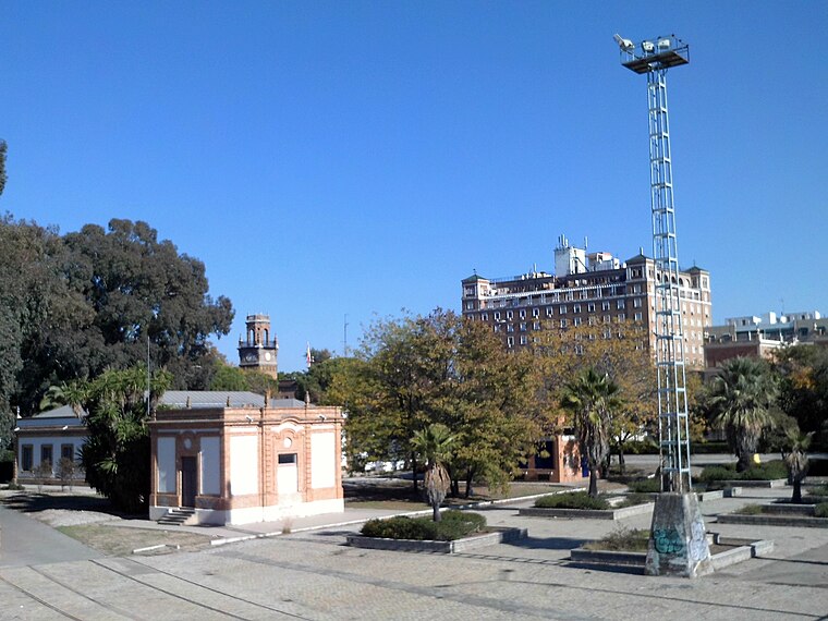
Photo: CarlosVdeHabsburgo, CC BY-SA 4.0.
Bellavista-La Palmera is a district of the city of Seville, the regional capital of the Spanish region of Andalusia. It is situated on the eastern bank of the Guadalquivir river, to the south of the city centre. Bellavista-La Palmera is situated 8 km northwest of Don Juan Tenorio.
Don Juan Tenorio
- Type: Work of art
- Artwork_type: statue
- Category: tourism
- Location: Dos Hermanas, Seville, Andalusia, Spain, Iberia, Europe
- View on OpenStreetMap
Latitude
37.28835° or 37° 17′ 18″ northLongitude
-5.92183° or 5° 55′ 19″ westOpen location code
8C9P73QH+87OpenStreetMap ID
node 3739593922OpenStreetMap feature
tourism=artworkOpenStreetMap attribute
artwork_type=statue
This page is based on OpenStreetMap, Wikidata, and Wikimedia Commons.
We’d love your help improving our open data sources. Thank you for contributing.
Satellite Map
Discover Don Juan Tenorio from above in high-definition satellite imagery.
Notable Places Nearby
Highlights include Casa de la Cultura and Aparatos de ejercicios.
Nearby Places
Explore places such as Escuela Infantil La Milagrosa and Kiosko Parque.
Seville: Must-Visit Destinations
Delve into Seville, Santiponce, and Sierra Norte.
Curious Work Of Arts to Discover
Uncover intriguing work of arts from every corner of the globe.
About Mapcarta. Data © OpenStreetMap contributors and available under the Open Database License". Text is available under the CC BY-SA 4.0 license, except for photos, directions, and the map. Photo: Wikimedia, CC0.