Mittagstisch Fischenthal
Mittagstisch Fischenthal is a day care in Fischenthal, Hinwil District, Canton of Zurich which is located on Tösstalstrasse. Mittagstisch Fischenthal is situated nearby to the fire station Feuerwehr Fischenthal, as well as near the church Kapelle Mühlebach.| Tap on a place to explore it |
Places of Interest Nearby
Highlights include Gallus Fischenthal and Fischenthal railway station.
Gallus Fischenthal
Church

Photo: Charly Bernasconi, CC BY-SA 3.0.
Gallus Fischenthal is a church, which is situated 560 metres north of Mittagstisch Fischenthal.
Fischenthal railway station
Railway station

Photo: My another account, CC0.
Fischenthal railway station is a railway station in the Swiss canton of Zurich, and the municipality of Fischenthal. It is located on the Töss Valley railway line between Winterthur and Rüti ZH, within fare zone 173 of the Zürcher Verkehrsverbund. Fischenthal railway station is situated 770 metres south of Mittagstisch Fischenthal.
Reformierte Kirche
Church

Photo: Berger, Public domain.
Reformierte Kirche is a church, which is situated 1 km southwest of Mittagstisch Fischenthal.
Places in the Area
Nearby places include Ghöch Pass and Bauma.
Bauma
Village
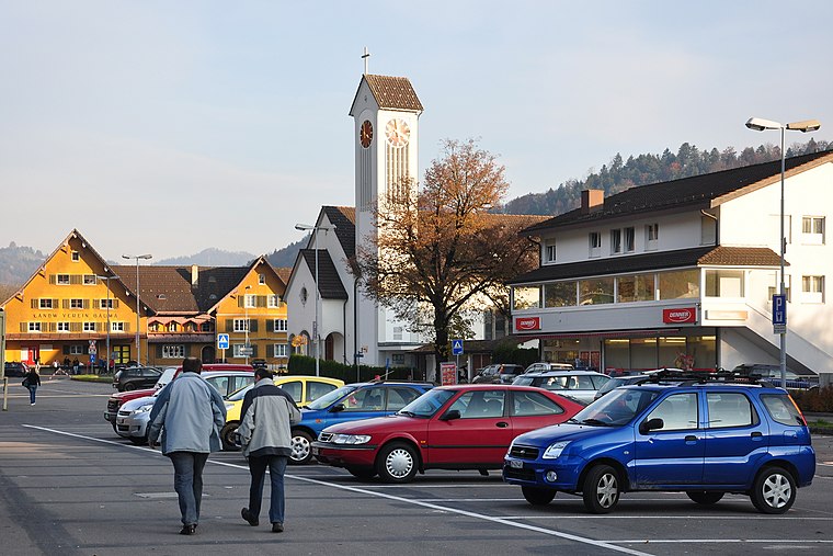
Photo: Roland zh, CC BY-SA 3.0.
Bauma is a municipality in the district of Pfäffikon in the canton of Zurich in Switzerland. Bauma is situated 4½ km northwest of Mittagstisch Fischenthal.
Neuthal
Hamlet

Photo: Ikiwaner, CC BY-SA 3.0.
Neuthal is a hamlet, which is situated 5 km northwest of Mittagstisch Fischenthal.
Mittagstisch Fischenthal
- Type: Day care
- Address: Tösstalstrasse 222, Fischenthal, 8497
- Location: Fischenthal, Hinwil District, Canton of Zurich, Switzerland, Central Europe, Europe
- View on OpenStreetMap
Latitude
47.3399° or 47° 20′ 24″ northLongitude
8.92673° or 8° 55′ 36″ eastOpen location code
8FVC8WQG+XMOpenStreetMap ID
node 3748984574OpenStreetMap feature
amenity=childcare
This page is based on OpenStreetMap, Wikidata, and Wikimedia Commons.
We’d love your help improving our open data sources. Thank you for contributing.
Satellite Map
Discover Mittagstisch Fischenthal from above in high-definition satellite imagery.
Notable Places Nearby
Highlights include Feuerwehr Fischenthal and Kapelle Mühlebach.
Nearby Places
Explore places such as Singsaal and Schule Bodmen.
Switzerland: Must-Visit Destinations
Delve into Zurich, Berne, Geneva, and Basel.
Curious Day Cares to Discover
Uncover intriguing day cares from every corner of the globe.
About Mapcarta. Data © OpenStreetMap contributors and available under the Open Database License". Text is available under the CC BY-SA 4.0 license, except for photos, directions, and the map. Photo: Roland zh, CC BY-SA 3.0.