Augas de Galicia - Zona Hidrográfica Galicia-Centro
Augas de Galicia - Zona Hidrográfica Galicia-Centro is a government office in Santiago de Compostela, A Coruña, Galicia. Augas de Galicia - Zona Hidrográfica Galicia-Centro is situated nearby to the health club Curves, as well as near the garden Xardín da Praza Camilo Díaz Baliño.| Tap on a place to explore it |
Places of Interest Nearby
Highlights include Parque de Bombeiros de Santiago and Centro Galego de Arte Contemporánea.
Parque de Bombeiros de Santiago
Fire station

Photo: Vanbasten 23, CC BY-SA 3.0.
Parque de Bombeiros de Santiago is a fire station, which is situated 130 metres northeast of Augas de Galicia - Zona Hidrográfica Galicia-Centro.
Centro Galego de Arte Contemporánea
Museum

Photo: Josugoni, Public domain.
The Centro Galego de Arte Contemporánea, CGAC is an arts centre based in Santiago de Compostela that aims to promote culture in Galicia through exhibition, enjoyment and knowledge of the trends and currents of contemporary artistic creation. Centro Galego de Arte Contemporánea is situated 520 metres southwest of Augas de Galicia - Zona Hidrográfica Galicia-Centro.
Museum of the Galician People
Museum

Photo: Lansbricae, CC BY-SA 3.0.
Museum of the Galician People is situated 500 metres southwest of Augas de Galicia - Zona Hidrográfica Galicia-Centro.
Places in the Area
Nearby places include City of Culture of Galicia and O Monte Gaiás.
City of Culture of Galicia
Neighborhood

Photo: P.Lameiro, CC BY-SA 3.0.
The City of Culture of Galicia is a complex of cultural buildings in Santiago de Compostela, Galicia, Spain, designed by a group of architects led by Peter Eisenman.

Angrois
Hamlet
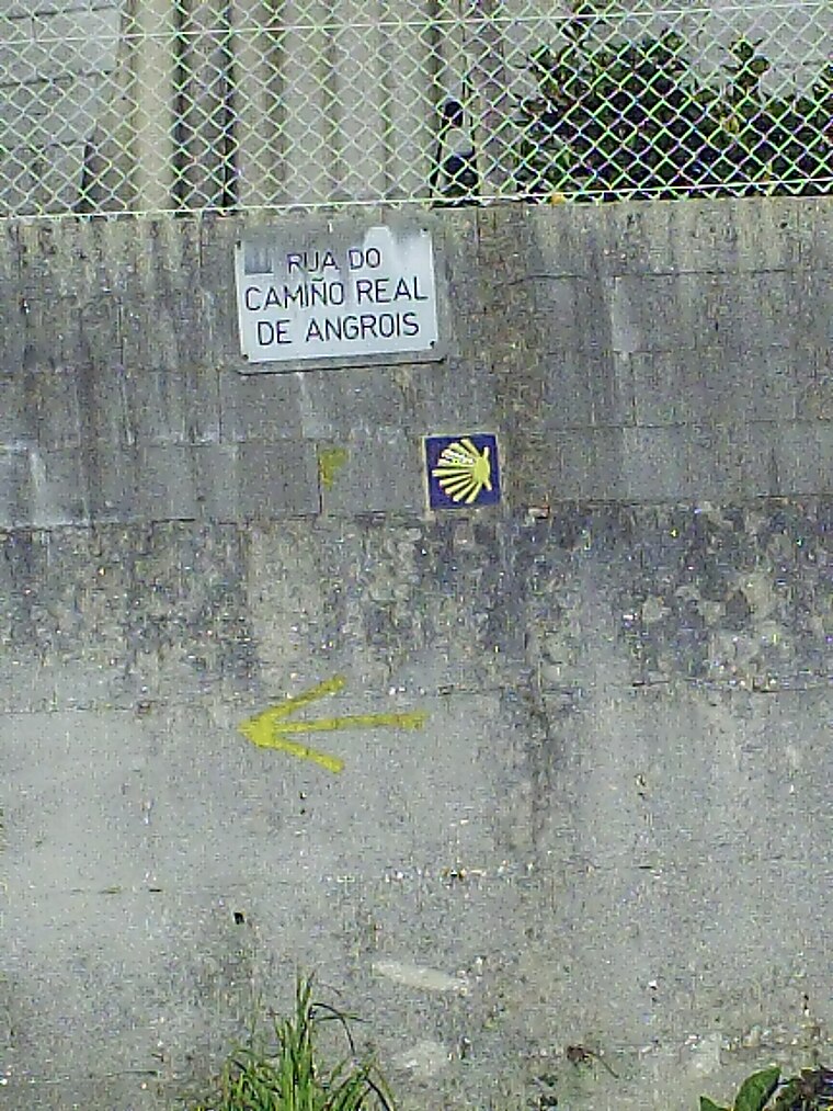
Photo: Isidoro Castaño, CC BY-SA 3.0.
Angrois is a hamlet, which is situated 3 km south of Augas de Galicia - Zona Hidrográfica Galicia-Centro.
Augas de Galicia - Zona Hidrográfica Galicia-Centro
- Type: Government office
- Categories: office and government building
- Location: Santiago de Compostela, A Coruña, Galicia, Green Spain, Spain, Iberia, Europe
- View on OpenStreetMap
Latitude
42.88582° or 42° 53′ 9″ northLongitude
-8.53448° or 8° 32′ 4″ westOperator
Xunta de GaliciaOpen location code
8CJHVFP8+86OpenStreetMap ID
node 3764497599OpenStreetMap feature
office=government
This page is based on OpenStreetMap, Wikidata, and Wikimedia Commons.
We’d love your help improving our open data sources. Thank you for contributing.
Satellite Map
Discover Augas de Galicia - Zona Hidrográfica Galicia-Centro from above in high-definition satellite imagery.
Notable Places Nearby
Highlights include Curves and Xardín da Praza Camilo Díaz Baliño.
Nearby Places
Explore places such as Carnicería Supermercado Méndez and CN Cristalería.
Galicia: Must-Visit Destinations
Delve into Lugo, Pontevedra, A Coruña, and Vigo.
Curious Government Offices to Discover
Uncover intriguing government offices from every corner of the globe.
About Mapcarta. Data © OpenStreetMap contributors and available under the Open Database License". Text is available under the CC BY-SA 4.0 license, except for photos, directions, and the map. Photo: Lmbuga, CC BY-SA 3.0.