Rontegi
Rontegi is a peak in Barakaldo, Biscay, Basque Country and has an elevation of 70 metres. Rontegi is situated nearby to the neighborhood Larrea, as well as near Landaburu.| Tap on a place to explore it |
Places of Interest
Highlights include Bizkaia Arena and Estadio de Lasesarre.
Bizkaia Arena
Stadium

Photo: Vanbasten 23, Public domain.
Bizkaia Arena is an indoor arena in Barakaldo, Greater Bilbao. It is the biggest multipurpose hall in Spain, as it can hold up to 26,000 people, and 15,414 for indoor sports.
Estadio de Lasesarre
Stadium
 Lasesarre is a stadium in Barakaldo, Spain. It is currently used for football matches and is the home stadium of Barakaldo CF. The stadium holds 7,960 spectators.

Places in the Area
Nearby places include Bilbao and Portugalete.
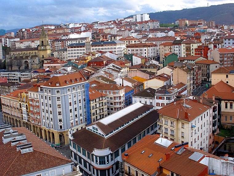
Bilbao

Photo: Archaeodontosaurus, CC BY-SA 3.0.
Bilbao, with a population of about 350,000, is the largest city in Spain's Basque Country. Bilbao is perhaps the best place in the world to experience the ancient culture and language of the Basque people, which has stubbornly held its own over thousands of years and is now completely unlike any modern-day culture in Europe.
Portugalete
Town
 Portugalete is a town lying to the west of Bilbao in the province of Biscay in the Autonomous Community of the Basque Country, northern Spain. The town has 45,294 inhabitants as of 2021 and is part of Bilbao's metropolitan area.
Sestao
Town
 Sestao is a town and municipality of 27,296 inhabitants located in the province of Biscay, in the autonomous community of Basque Country, northern Spain.
Rontegi
- Type: Peak with an elevation of 70 metres
- Category: landform
- Location: Barakaldo, Biscay, Basque Country, Northern Spain, Spain, Iberia, Europe
- View on OpenStreetMap
Latitude
43.2952° or 43° 17′ 43″ northLongitude
-2.9822° or 2° 58′ 56″ westElevation
70 metres (230 feet)Open location code
8CMV72W9+34OpenStreetMap ID
node 3775132729OpenStreetMap feature
natural=peak
This page is based on OpenStreetMap, Wikidata, and Wikimedia Commons.
We’d love your help improving our open data sources. Thank you for contributing.
Satellite Map
Discover Rontegi from above in high-definition satellite imagery.
Localities in the Area
Explore places such as Arrontegi and Larrea.
Notable Places Nearby
Highlights include Parque Luis Urkullu - El Fuerte and Fuente NO potable.
Basque Country: Must-Visit Destinations
Delve into Bilbao, San Sebastián, Vitoria-Gasteiz, and Guernica.
Curious Peaks to Discover
Uncover intriguing peaks from every corner of the globe.
About Mapcarta. Data © OpenStreetMap contributors and available under the Open Database License". Text is available under the CC BY-SA 4.0 license, except for photos, directions, and the map. Photo: Ander Abadia Zallo, CC BY 4.0.