Alexandrinenthal
Alexandrinenthal is a neighborhood in Rödental, Landkreis Coburg, Bavaria. Alexandrinenthal is situated nearby to the village Einberg, as well as near Oeslau.| Tap on a place to explore it |
Photo: Wikimedia, CC BY-SA 3.0 de.
Places of Interest
Highlights include St. Mary (Einberg) and St. John (Oeslau).


Cultural heritage D-4-73-159-16 in Rödental
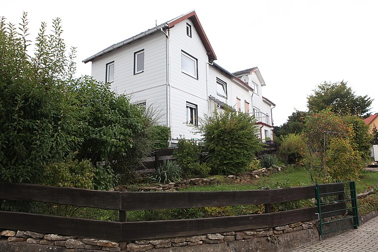
Building

Photo: Störfix, CC BY-SA 3.0.
Cultural heritage D-4-73-159-16 in Rödental is a building.
Places in the Area
Nearby places include Gnailes and Rothenhof.


Alexandrinenthal
- Type: Neighborhood
- Description: human settlement in Germany
- Categories: Ortsteil and locality
- Location: Rödental, Landkreis Coburg, Upper Franconia, Franconia, Bavaria, Germany, Central Europe, Europe
- View on OpenStreetMap
Latitude
50.29234° or 50° 17′ 32″ northLongitude
11.04861° or 11° 2′ 55″ eastOpen location code
9F2H72RX+WCOpenStreetMap ID
node 3782305001OpenStreetMap feature
place=neighbourhoodWikidata ID
Q22691022
This page is based on OpenStreetMap, Wikidata, and Wikimedia Commons.
We’d love your help improving our open data sources. Thank you for contributing.
Satellite Map
Discover Alexandrinenthal from above in high-definition satellite imagery.
In Other Languages
From Dutch to Irish—“Alexandrinenthal” goes by many names.
- Dutch: “Alexandrinenthal”
- French: “Alexandrinenthal”
- German: “Alexandrinenthal”
- Irish: “Alexandrinenthal”
Localities in the Area
Explore places such as Einberg and Oeslau.
Notable Places Nearby
Highlights include Bolzplatz and Freiwillige Feuerwehr Rödental.
Upper Franconia: Must-Visit Destinations
Delve into Bamberg, Bayreuth, Coburg, and Hof.
Curious Neighborhoods to Discover
Uncover intriguing neighborhoods from every corner of the globe.
About Mapcarta. Data © OpenStreetMap contributors and available under the Open Database License". Text is available under the CC BY-SA 4.0 license, except for photos, directions, and the map. Photo: Wikimedia, CC BY-SA 3.0 de.